Probability of a tornado within 25 miles of a point. Hatched Area: 10% or greater probability of EF2 - EF5 tornadoes within 25 miles of a point.
Day 1 Tornado Risk
Area (sq. mi.)
Area Pop.
Some Larger Population Centers in Risk Area
No Risk Areas Forecast
Probabilistic Damaging Wind Graphic
Probability of damaging thunderstorm winds or wind gusts of 50 knots or higher within 25 miles of a point. Hatched Area: 10% of greater probability of wind gusts 65 knots or greater within 25 miles of a point.
Day 1 Wind Risk
Area (sq. mi.)
Area Pop.
Some Larger Population Centers in Risk Area
No Risk Areas Forecast
Probabilistic Large Hail Graphic
Probability of hail 1" or larger within 25 miles of a point. Hatched Area: 10% or greater probability of hail 2" or larger within 25 miles of a point.
Day 1 Hail Risk
Area (sq. mi.)
Area Pop.
Some Larger Population Centers in Risk Area
No Risk Areas Forecast
SPC AC 291958
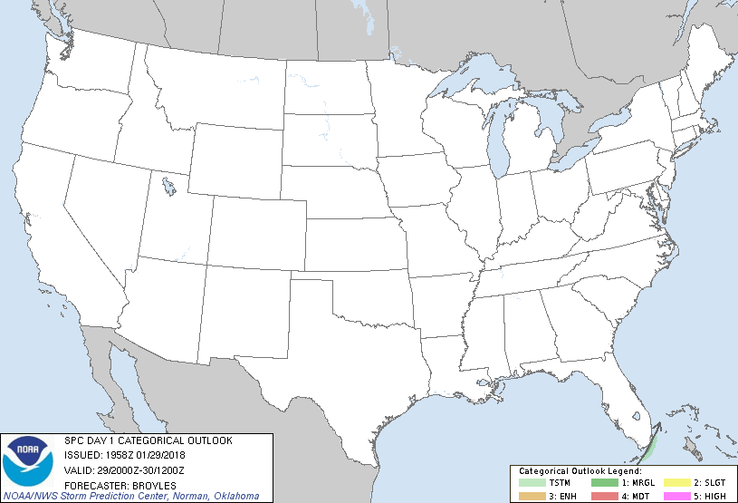
Day 1 Convective Outlook
NWS Storm Prediction Center Norman OK
0158 PM CST Mon Jan 29 2018
Valid 292000Z - 301200Z
...NO SEVERE THUNDERSTORM AREAS FORECAST...
...SUMMARY...
An isolated thunderstorm will remain possible late this afternoon
near coastal south Florida.
...DISCUSSION...
The only change to the outlook is to move the thunder line in
southeastern Florida to near the upper Florida Keys. The thunder
potential will gradually diminish from northwest to southeast as a
cold front moves away from the coast.
..Broyles.. 01/29/2018
.PREV DISCUSSION... /ISSUED 1023 AM CST Mon Jan 29 2018/
...Synopsis...
A semi-amplified/progressive large-scale pattern will exist over the
CONUS, highlighted by an eastward-shifting trough over the eastern
CONUS and a steadily flattening ridge over the U.S. and Canadian
Rockies. Prevalent high pressure east of the Rockies and related
cold/stable conditions will considerably limit thunderstorm
potential aside from near-coastal parts of Florida as well as the
offshore waters of the Pacific Northwest.
...South Florida...
A couple of thunderstorms will remain possible this afternoon across
the southeast Florida Peninsula, Keys vicinity, and adjacent
offshore waters near and ahead of a southeast-advancing cold front.
Over time, an increasingly prevalent westerly component near/behind
the front will yield weakening convergence and a drying air mass
inland with any lingering thunderstorm potential shifting well
offshore by tonight.
CLICK TO GET WUUS01 PTSDY1 PRODUCT
NOTE: THE NEXT DAY 1 OUTLOOK IS SCHEDULED BY 0100Z