Probability of a tornado within 25 miles of a point. Hatched Area: 10% or greater probability of EF2 - EF5 tornadoes within 25 miles of a point.
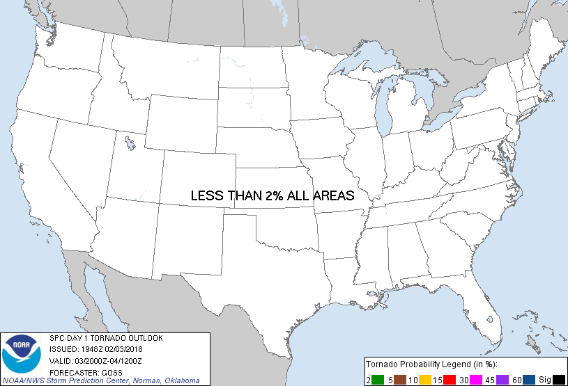
Day 1 Tornado Risk
Area (sq. mi.)
Area Pop.
Some Larger Population Centers in Risk Area
No Risk Areas Forecast
Probabilistic Damaging Wind Graphic
Probability of damaging thunderstorm winds or wind gusts of 50 knots or higher within 25 miles of a point. Hatched Area: 10% of greater probability of wind gusts 65 knots or greater within 25 miles of a point.
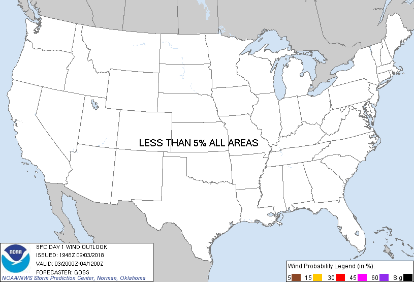
Day 1 Wind Risk
Area (sq. mi.)
Area Pop.
Some Larger Population Centers in Risk Area
No Risk Areas Forecast
Probabilistic Large Hail Graphic
Probability of hail 1" or larger within 25 miles of a point. Hatched Area: 10% or greater probability of hail 2" or larger within 25 miles of a point.
Day 1 Hail Risk
Area (sq. mi.)
Area Pop.
Some Larger Population Centers in Risk Area
No Risk Areas Forecast
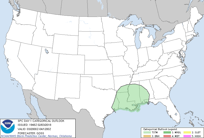
   SPC AC 031948

   Day 1 Convective Outlook
   NWS Storm Prediction Center Norman OK
   0148 PM CST Sat Feb 03 2018

   Valid 032000Z - 041200Z

   ...NO SEVERE THUNDERSTORM AREAS FORECAST...

   ...SUMMARY...
   Thunderstorms are expected across the lower Mississippi Valley and
   adjoining Gulf Coast region, mainly this evening and overnight.

   ...Discussion...
   The current outlook area and associated forecast reasoning appears
   to accurately depict the current expected evolution of the
   convective scenario through the remainder of the period.  As such --
   with elevated thunderstorm development anticipated tonight centered
   in the lower Mississippi Valley vicinity, no changes are being made
   to the outlook at this time.

   ..Goss.. 02/03/2018

   .PREV DISCUSSION... /ISSUED 1023 AM CST Sat Feb 03 2018/

   ...Lower MS Valley and Gulf Coast Region...
   Water vapor loop shows a significant shortwave trough tracking
   southeastward across CO and into the southern Plains.  Increasing
   low-level warm advection and lift in advance of this system will
   help to moisten/destabilize parts of the western/central Gulf Coast
   region, leading to rather widespread precipitation this afternoon
   and tonight.  Forecast soundings suggest that a plume of elevated
   CAPE will slowly increase this evening, beginning in southeast TX,
   and eventually spreading into parts of LA/AR/MS/AL overnight.
   Despite rather strong deep-layer shear, stable surface conditions
   and only marginal CAPE values suggest that the risk of severe storms
   is quite low.

   CLICK TO GET WUUS01 PTSDY1 PRODUCT

   NOTE: THE NEXT DAY 1 OUTLOOK IS SCHEDULED BY 0100Z