   SPC AC 070540

   Day 1 Convective Outlook
   NWS Storm Prediction Center Norman OK
   1140 PM CST Tue Mar 06 2018

   Valid 071200Z - 081200Z

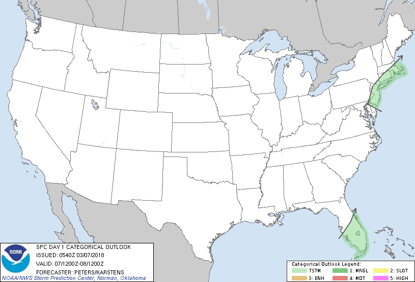
   ...NO SEVERE THUNDERSTORM AREAS FORECAST...

   ...SUMMARY...
   Isolated thunderstorms are possible across the southern half of
   Florida into the afternoon, while lightning strikes cannot be ruled
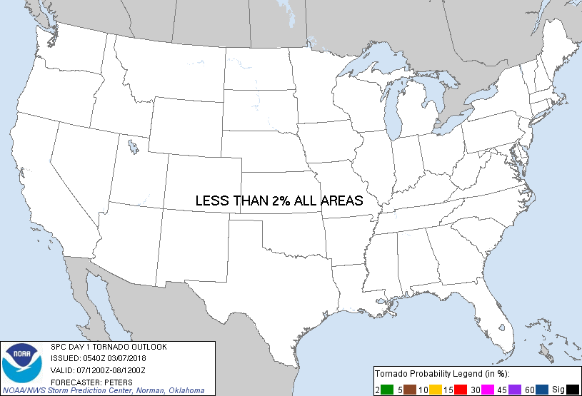
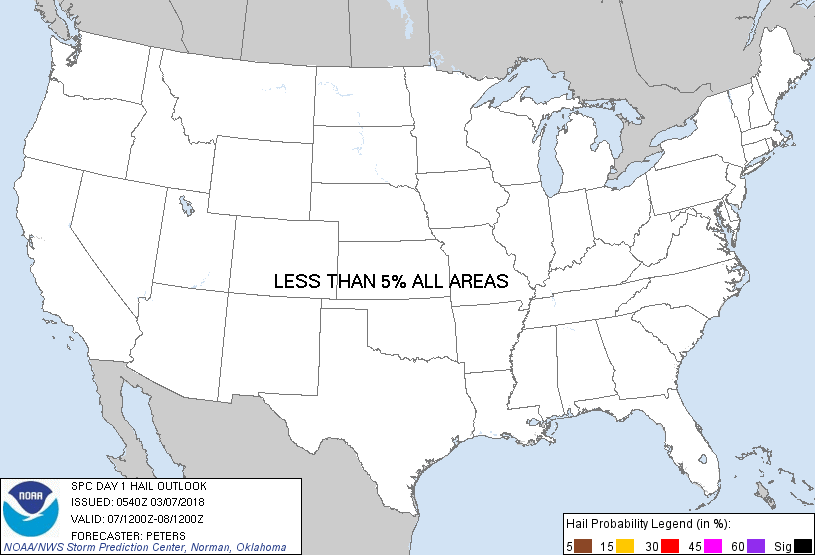
   out across parts of the Northeast.  Severe weather is not expected.

   ...Synopsis...
   A longwave trough will be maintained across the eastern half of the
   U.S. this forecast period with upstream ridging in the west.  A
   progressive shortwave trough will become negatively tilted as it
   tracks from the base of the eastern trough (in lee of the southern
   Appalachians at 12Z today) through the middle Atlantic Coast states
   into New England.  Surface cyclogenesis should be underway near of
   just off the Delmarva Peninsula at the start of the forecast period,
   with deepening expected as this low tracks to the Atlantic waters
   south of Long Island/New England by 00Z, then through southeast MA
   toward ME tonight.  The southern extent of a trailing cold front
   will advance through southern FL today and offshore into the Florida
   Straits tonight.

   ...Southern half of FL...
   Some diabatic heating and boundary-layer moistening ahead of the
   cold front will contribute to weak buoyancy for convection, as the
   presence of weak deep-layer lapse rates precludes stronger
   destabilization.  Veering low-level winds should weaken frontal
   convergence, with the potential for deep moist convection
   diminishing into the afternoon as the cold front advances southward.
   Isolated thunderstorms will be possible, with severe-weather not
   expected.

   ...NJ/southeast NY to southern New England...
   Forecast soundings indicate the occurrence of steepening midlevel
   lapse rates as strong low-level warm air advection/deep-layer ascent
   spreads from the northern middle Atlantic coast to southern New
   England this morning into the afternoon/evening, in association with
   the deepening cyclone.  MUCAPE up to 100-200 J/kg should be rooted
   between 700-850 mb per forecast models, suggesting the likelihood
   for elevated thunderstorms, initially in vicinity of NJ this morning
   and developing into southern New England by this afternoon.  While
   severe-weather is not expected with these elevated storms, enhanced
   precipitation rates could occur.

   ..Peters/Karstens.. 03/07/2018

   CLICK TO GET WUUS01 PTSDY1 PRODUCT

   NOTE: THE NEXT DAY 1 OUTLOOK IS SCHEDULED BY 1300Z
|


