Apr 18, 2018 0600 UTC Day 1 Convective Outlook
Updated: Wed Apr 18 04:39:18 UTC 2018 (20180418 1200Z Day 1 shapefile | 20180418 1200Z Day 1 KML)
Probabilistic to Categorical Outlook Conversion Table
Categorical Graphic
20180418 1200 UTC Day 1 Outlook Graphic
Day 1 Risk Area (sq. mi.) Area Pop. Some Larger Population Centers in Risk Area
No Risk Areas Forecast
Probabilistic Tornado Graphic
20180418 1200 UTC Day 1 Tornado Probabilities Graphic
Probability of a tornado within 25 miles of a point.
Hatched Area: 10% or greater probability of EF2 - EF5 tornadoes within 25 miles of a point.
Day 1 Tornado Risk Area (sq. mi.) Area Pop. Some Larger Population Centers in Risk Area
No Risk Areas Forecast
Probabilistic Damaging Wind Graphic
20180418 1200 UTC Day 1 Damaging Wind Probabilities Graphic
Probability of damaging thunderstorm winds or wind gusts of 50 knots or higher within 25 miles of a point.
Hatched Area: 10% of greater probability of wind gusts 65 knots or greater within 25 miles of a point.
Day 1 Wind Risk Area (sq. mi.) Area Pop. Some Larger Population Centers in Risk Area
No Risk Areas Forecast
Probabilistic Large Hail Graphic
20180418 1200 UTC Day 1 Large Hail Probabilities Graphic
Probability of hail 1" or larger within 25 miles of a point.
Hatched Area: 10% or greater probability of hail 2" or larger within 25 miles of a point.
Day 1 Hail Risk Area (sq. mi.) Area Pop. Some Larger Population Centers in Risk Area
No Risk Areas Forecast
   SPC AC 180439

   Day 1 Convective Outlook  
   NWS Storm Prediction Center Norman OK
   1139 PM CDT Tue Apr 17 2018

   Valid 181200Z - 191200Z

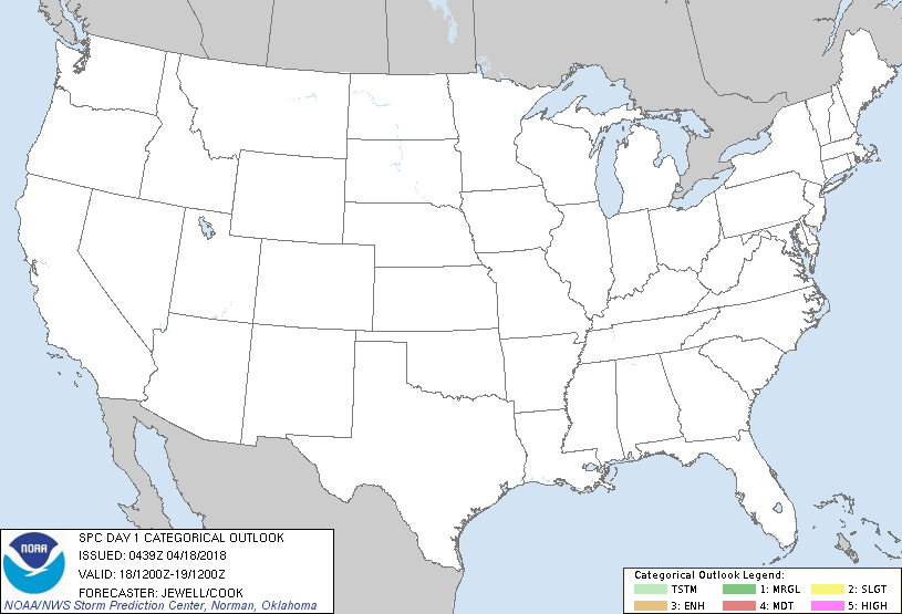
   ...NO THUNDERSTORM AREAS FORECAST...

   ...SUMMARY...
   Thunderstorms are unlikely across the continental U.S. on Wednesday.

   ...Synopsis and Discussion...
   A potent shortwave trough will move quickly from the Midwest toward
   the Mid Atlantic by Thursday morning, with a cold front bringing
   cool, dry air across much of the South and East. While lift will
   exist with this shortwave trough, moisture and instability will be
   quite limited, with only sporadic, weak elevated convection possible
   across the Midwest/OH Valley with little or no lightning.

   To the west, an upper trough will drop south across CA and the Great
   Basin, providing cold temperatures aloft with a few convective
   showers possible over northern CA, OR, and western NV.

   ..Jewell/Cook.. 04/18/2018

   CLICK TO GET WUUS01 PTSDY1 PRODUCT

   NOTE: THE NEXT DAY 1 OUTLOOK IS SCHEDULED BY 1300Z