Surprise, AZ...Sun City, AZ...Prescott, AZ...Sun City West, AZ...Prescott Valley, AZ...
Probabilistic Tornado Graphic
Probability of a tornado within 25 miles of a point. Hatched Area: 10% or greater probability of EF2 - EF5 tornadoes within 25 miles of a point.
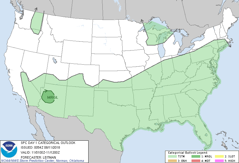
Day 1 Tornado Risk
Area (sq. mi.)
Area Pop.
Some Larger Population Centers in Risk Area
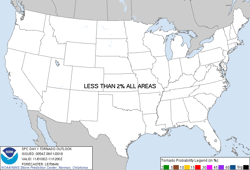
No Risk Areas Forecast
Probabilistic Damaging Wind Graphic
Probability of damaging thunderstorm winds or wind gusts of 50 knots or higher within 25 miles of a point. Hatched Area: 10% of greater probability of wind gusts 65 knots or greater within 25 miles of a point.
Day 1 Wind Risk
Area (sq. mi.)
Area Pop.
Some Larger Population Centers in Risk Area
5 %
18,701
1,058,442
Peoria, AZ...Surprise, AZ...Sun City, AZ...Prescott, AZ...Sun City West, AZ...
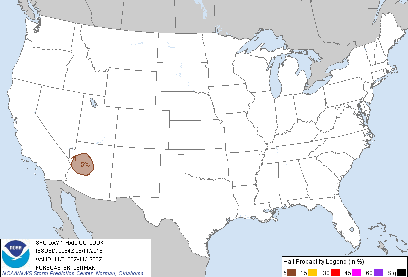
Probabilistic Large Hail Graphic
Probability of hail 1" or larger within 25 miles of a point. Hatched Area: 10% or greater probability of hail 2" or larger within 25 miles of a point.
Day 1 Hail Risk
Area (sq. mi.)
Area Pop.
Some Larger Population Centers in Risk Area
5 %
18,514
701,473
Surprise, AZ...Prescott, AZ...Sun City West, AZ...Prescott Valley, AZ...El Mirage, AZ...
   SPC AC 110054

   Day 1 Convective Outlook
   NWS Storm Prediction Center Norman OK
   0754 PM CDT Fri Aug 10 2018

   Valid 110100Z - 111200Z

   ...THERE IS A MARGINAL RISK OF SEVERE THUNDERSTORMS ACROSS PORTIONS
   OF NORTHWEST INTO CENTRAL AZ...

   ...SUMMARY...
   A few severe thunderstorms capable of strong winds and hail will
   continue tonight across parts of northwest and central Arizona.

   ...01z Update -- Portions of Northwest into Central AZ...

   The Marginal risk area has been trimmed across AZ to reflect where
   current severe convection is ongoing between PRC and GCN and where
   severe threat may extend to the south/southwest should upscale
   growth occur.  00z RAOB from FGZ shows around 25kt northeasterly
   effective shear and very steep midlevel lapse rates. This
   environment will support a couple of intense cells/clusters with
   hail and strong winds the main concern. Storms have struggled to
   maintain themselves moving off of the higher terrain of the Mogollon
   Rim as deep layer flow weakens with southward extent. Given these
   observational trends and sparse storm coverage, shrinking of the
   Marginal risk area appears appropriate at this time.

   Elsewhere, changes in the 10% general thunderstorm line have been
   made to account for current trends.

   ..Leitman.. 08/11/2018

   CLICK TO GET WUUS01 PTSDY1 PRODUCT

   NOTE: THE NEXT DAY 1 OUTLOOK IS SCHEDULED BY 0600Z