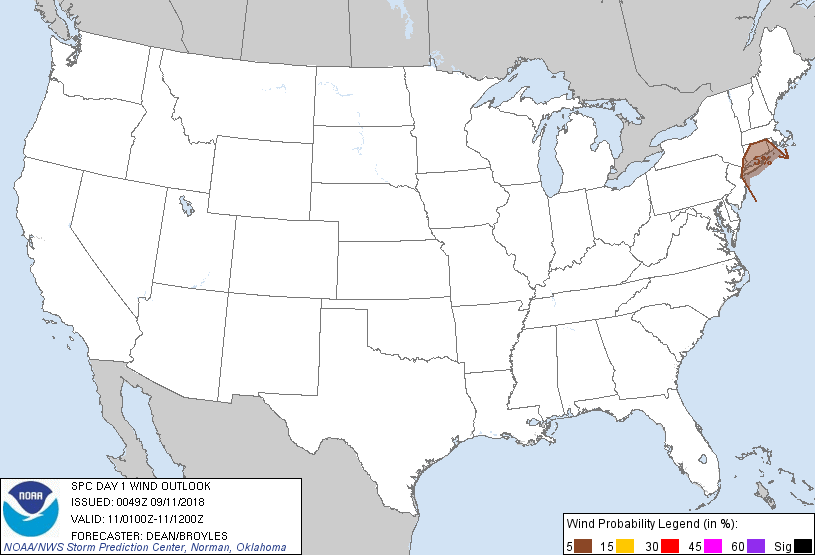
Probability of damaging thunderstorm winds or wind gusts of 50 knots or higher within 25 miles of a point. Hatched Area: 10% of greater probability of wind gusts 65 knots or greater within 25 miles of a point.
Day 1 Wind Risk
Area (sq. mi.)
Area Pop.
Some Larger Population Centers in Risk Area
5 %
9,802
16,029,855
New York, NY...Yonkers, NY...Bridgeport, CT...New Haven, CT...Hartford, CT...
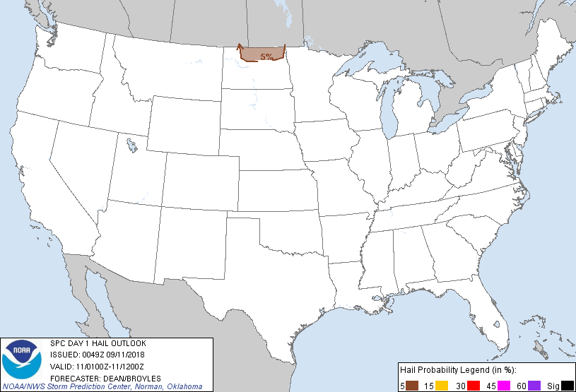
Probabilistic Large Hail Graphic
Probability of hail 1" or larger within 25 miles of a point. Hatched Area: 10% or greater probability of hail 2" or larger within 25 miles of a point.
Day 1 Hail Risk
Area (sq. mi.)
Area Pop.
Some Larger Population Centers in Risk Area
5 %
13,797
125,277
Minot, ND...Devils Lake, ND...
SPC AC 110049
Day 1 Convective Outlook
NWS Storm Prediction Center Norman OK
0749 PM CDT Mon Sep 10 2018
Valid 110100Z - 111200Z
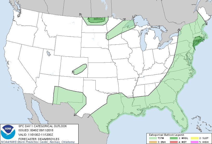
...THERE IS A MARGINAL RISK OF SEVERE THUNDERSTORMS ACROSS NORTHERN
ND AND OVER PARTS OF SOUTHERN NEW ENGLAND AND LONG ISLAND...
...SUMMARY...
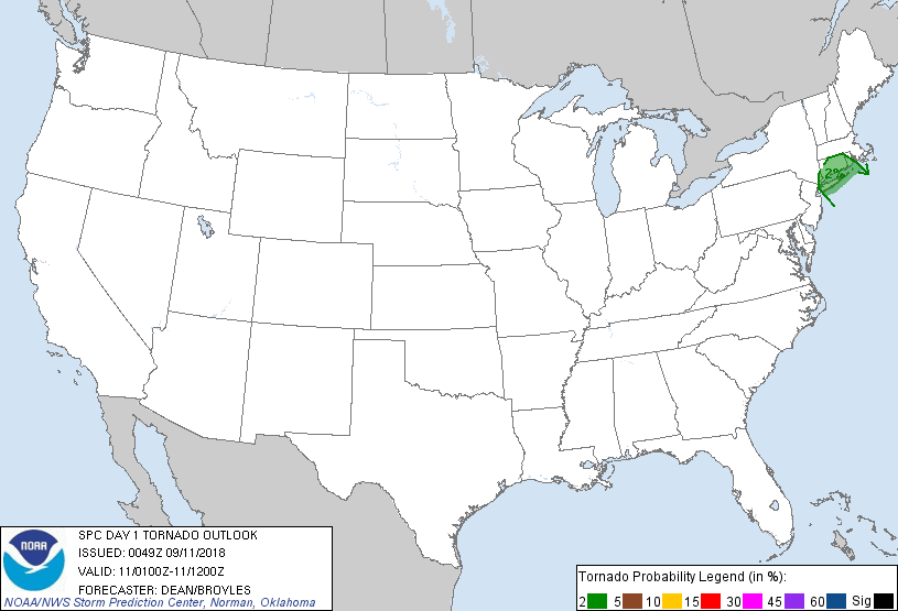
A conditional risk for a brief tornado and locally damaging winds
exists tonight in vicinity of Long Island and Connecticut. Isolated
severe hail may occur over parts of northern North Dakota after 3
a.m. CDT.
...Long Island...Connecticut...and Vicinity...
00Z surface and ship observations and GOES IR imagery indicate that
a warm front is located from just off of the Mid-Atlantic coast
northeastward to around 50 mi offshore of Long Island as of 0030Z. A
strong low-level jet (noted in area VWPs) will allow this warm front
to move northward into Long Island/Connecticut and adjacent portions
of southern New England late tonight. While midlevel lapse rates are
very weak, sufficient buoyancy may allow a few thunderstorms to
develop in the vicinity of the front, with strong low-level
flow/shear supporting a conditional risk of locally damaging wind or
perhaps a brief tornado with the strongest cells.
...Northern North Dakota...
Steep midlevel lapse rates (noted in 00Z soundings from
BIS/ABR/LBF/UNR) and increasing moisture in the 1-3 km AGL layer
will support the development of moderate elevated instability across
ND later tonight. With relatively limited large-scale ascent across
the region (aside from some low-level warm advection), it remains
unclear if any elevated thunderstorms will develop south of the
international border, but sufficient effective shear will support a
conditional hail risk with any deep convection.
..Dean/Broyles.. 09/11/2018
CLICK TO GET WUUS01 PTSDY1 PRODUCT
NOTE: THE NEXT DAY 1 OUTLOOK IS SCHEDULED BY 0600Z