Probability of a tornado within 25 miles of a point. Hatched Area: 10% or greater probability of EF2 - EF5 tornadoes within 25 miles of a point.
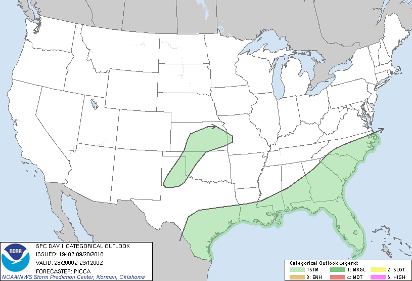
Day 1 Tornado Risk
Area (sq. mi.)
Area Pop.
Some Larger Population Centers in Risk Area
No Risk Areas Forecast
Probabilistic Damaging Wind Graphic
Probability of damaging thunderstorm winds or wind gusts of 50 knots or higher within 25 miles of a point. Hatched Area: 10% of greater probability of wind gusts 65 knots or greater within 25 miles of a point.
Day 1 Wind Risk
Area (sq. mi.)
Area Pop.
Some Larger Population Centers in Risk Area
No Risk Areas Forecast
Probabilistic Large Hail Graphic
Probability of hail 1" or larger within 25 miles of a point. Hatched Area: 10% or greater probability of hail 2" or larger within 25 miles of a point.
Day 1 Hail Risk
Area (sq. mi.)
Area Pop.
Some Larger Population Centers in Risk Area
No Risk Areas Forecast
   SPC AC 281940

   Day 1 Convective Outlook
   NWS Storm Prediction Center Norman OK
   0240 PM CDT Fri Sep 28 2018

   Valid 282000Z - 291200Z

   ...NO SEVERE THUNDERSTORM AREAS FORECAST...

   ...SUMMARY...
   Organized severe storms are not forecast through tonight.

   ...Discussion...
   No major changes have been made to the ongoing forecast.
   Thunderstorms will persist into this evening from the Texas coast to
   the Carolinas, while additional development is possible from west
   Texas to the Missouri Valley late this afternoon into the overnight.
   Brief gusty winds may be possible if any deeper cells can form in
   west Texas later today, but weak deep-layer flow should preclude any
   organized severe threat.

   ..Picca.. 09/28/2018

   .PREV DISCUSSION... /ISSUED 1120 AM CDT Fri Sep 28 2018/

   ...Synopsis/Forecast...
   Cyclonic upper-level flow will remain prevalent over the majority of
   the country with a strong polar jet over the northern tier of the
   CONUS.

   A couple of stronger storms capable of gusty winds could occur this
   afternoon across coastal NC/SC given ample heating and a moist air
   mass ahead of a cold front. However, any severe risk is currently
   expected to remain very localized/marginal owing to influences of
   rising upper heights and weak low/mid-tropospheric winds.

   By tonight, isolated elevated thunderstorms will also be possible
   across parts of northwest TX and western/northern OK into KS owing
   to increasing warm advection and sufficient elevated buoyancy
   along/behind a southward-advancing front.

   CLICK TO GET WUUS01 PTSDY1 PRODUCT

   NOTE: THE NEXT DAY 1 OUTLOOK IS SCHEDULED BY 0100Z