SPC AC 301619
Day 1 Convective Outlook
NWS Storm Prediction Center Norman OK
1119 AM CDT Sun Sep 30 2018
Valid 301630Z - 011200Z
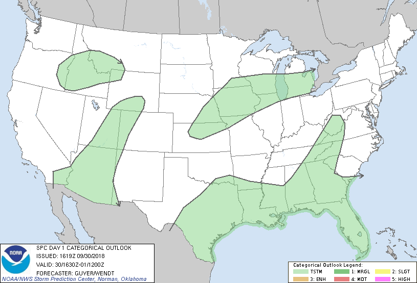
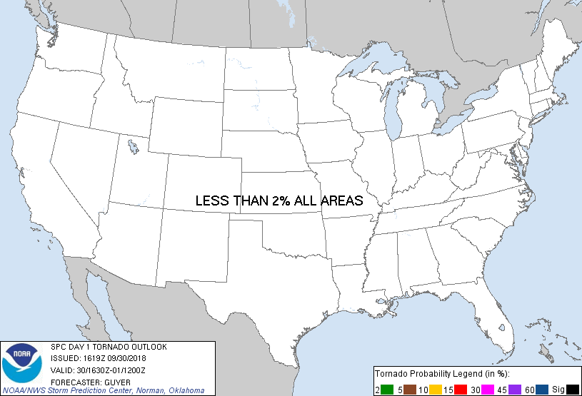
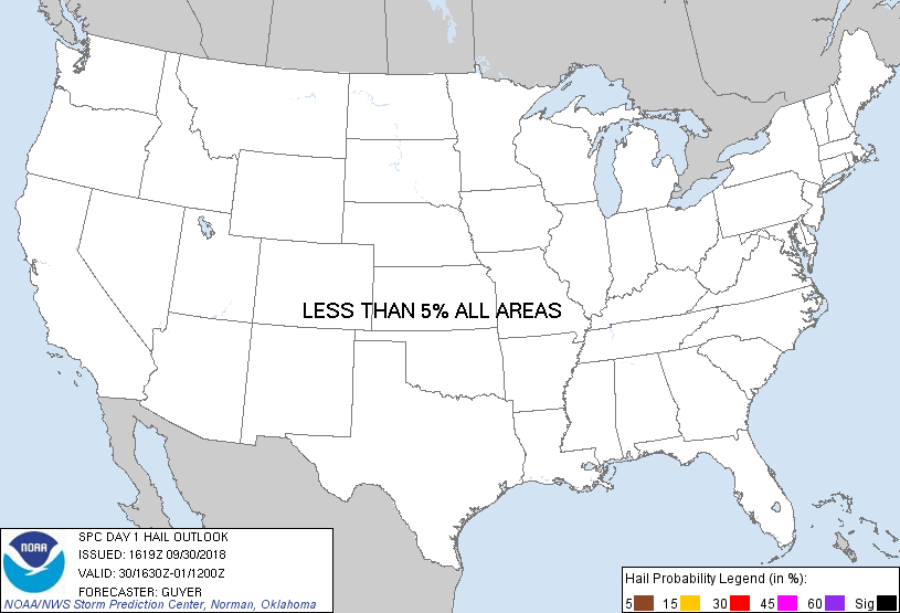
...NO SEVERE THUNDERSTORM AREAS FORECAST...
...SUMMARY...
Severe storms are not forecast through tonight.
...Synopsis/Forecast...
Severe potential is expected to remain very low today across the
CONUS. Similar to yesterday, a few pulse-type stronger storms could
occur this afternoon across the coastal Southeast/Gulf Coast States,
but any severe potential is likely to remain highly localized and
marginal.
Thunderstorms are expected mainly tonight across parts of the Middle
Missouri River Valley and Upper Mississippi Valley as warm
advection/isentropic ascent increases to the north of a front. Some
small hail may occur tonight across eastern NE into IA, but
severe-caliber hailstones currently appear unlikely. Near/south of
the front, little if any ascent atop the warm sector and residual
mid-level capping are likely to preclude the development of
near-surface-based thunderstorms across central KS, where modest
destabilization should otherwise occur as low-level clouds gradually
erode this afternoon.
For the Southwest U.S., Hurricane Rosa is expected to continue
northeastward toward Baja through tonight with a slow gradual
weakening/disorganizing trend. Although richer low-level moisture
will continue to arrive into southern AZ, relatively weak vertical
shear and limited destabilization through today's diurnal heating
cycle is likely to limit the potential for severe storms.
..Guyer/Wendt.. 09/30/2018
CLICK TO GET WUUS01 PTSDY1 PRODUCT
NOTE: THE NEXT DAY 1 OUTLOOK IS SCHEDULED BY 2000Z
|