SPC AC 181250
Day 1 Convective Outlook
NWS Storm Prediction Center Norman OK
0750 AM CDT Thu Oct 18 2018
Valid 181300Z - 191200Z
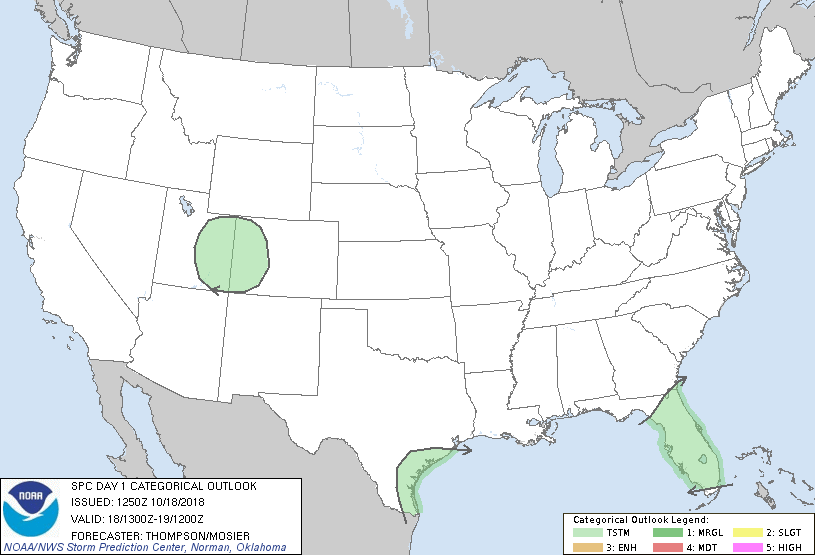
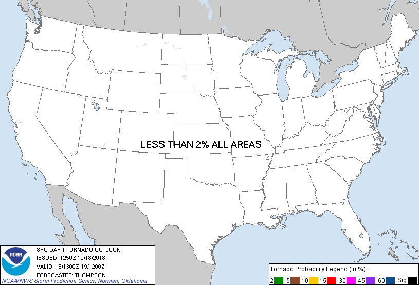
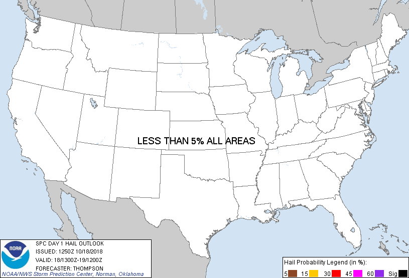
...NO SEVERE THUNDERSTORM AREAS FORECAST...
...SUMMARY...
Isolated thunderstorms are possible across parts of Texas coast and
the Florida Peninsula, and parts of the Intermountain West through
tonight, but severe storms are not anticipated.
...Synopsis...
A closed midlevel low over UT this morning will begin to move
eastward and start to phase with a northern stream shortwave trough
that will dig southeastward across the Prairie provinces toward ND.
Cool midlevel temperatures, sufficiently steep lapse rates, and weak
buoyancy will support a threat for isolated thunderstorms (mainly
this afternoon) immediately in advance of the weakening midlevel
low. Farther southeast, a low-level warm advection regime is
becoming established across TX. Buoyancy rooted in the 850-700 mb
layer will support some weak midlevel convection across much of
central TX. However, sufficiently deep buoyancy to support charge
separation and isolated lightning strikes is more likely near coast
and offshore warm sector. Otherwise, despite negligible large-scale
forcing for ascent, isolated thunderstorms will be possible within
the lingering tropical air mass across FL, primarily along the front
across north FL.
..Thompson/Mosier.. 10/18/2018
CLICK TO GET WUUS01 PTSDY1 PRODUCT
NOTE: THE NEXT DAY 1 OUTLOOK IS SCHEDULED BY 1630Z
|