SPC AC 201237
Day 1 Convective Outlook
NWS Storm Prediction Center Norman OK
0737 AM CDT Sat Oct 20 2018
Valid 201300Z - 211200Z
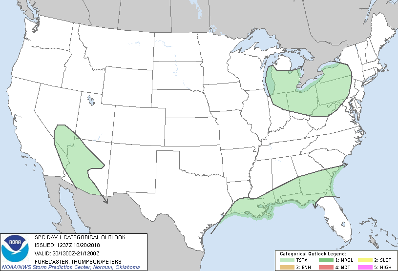
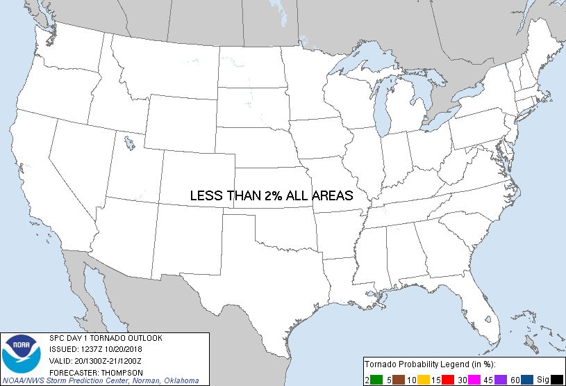
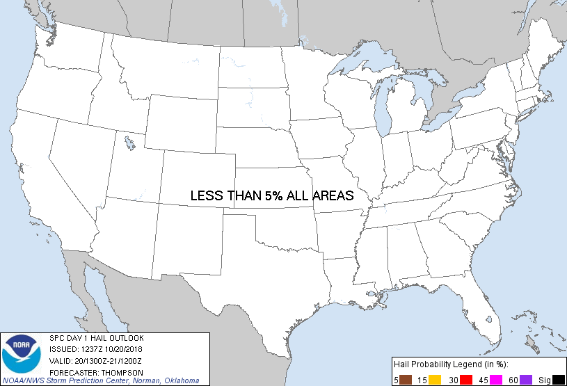
...NO SEVERE THUNDERSTORM AREAS FORECAST...
...SUMMARY...
A few thunderstorms will be possible across the lower Great Lakes,
the Gulf coast, and the Southwest.
...Synopsis...
A pronounced midlevel shortwave trough will dig southeastward today
over the Great Lakes and upper OH Valley, and reach the Mid Atlantic
coast by Sunday morning. An associated cold frontal surge is
expected to reach the Gulf and Atlantic coasts overnight. Steep
low-midlevel lapse rates with cold midlevel temperatures will drive
at least weak surface-based buoyancy across the lower Great Lakes
and vicinity. Scattered clusters/bands of low-topped thunderstorms
will be possible beginning by midday across southern Lower MI, and
then spreading east-southeastward across northern OH to western
PA/NY through early tonight. Small hail and gusty winds may occur
with the strongest storms, though limited low-level
moisture/buoyancy (boundary-layer dewpoints in the upper 30s) and
rather modest flow below 700 mb (generally 30 kt or less) will tend
to limit any threat for severe storms. An isolated waterspout may
also occur over Lake Erie this afternoon given the steep low-level
lapse rates and vertical vorticity along the reinforcing cold front.
Otherwise, a few thunderstorms will remain possible from the
northern Gulf coast to southern GA/SC, where low-level moistening
should be sufficient for deep convection (mainly this
afternoon/evening along the cold front). Gradual low-midlevel
moistening is also expected from western AZ into extreme southern NV
and extreme southeastern CA in association with a slow-moving
midlevel low. Isolated surface-based storms will be possible with
afternoon surface heating, but much of the convection that persists
into tonight should be rooted closer to 700 mb. Midlevel lapse
rates will be steep (near 8 C/km) and there will be some deep-layer
vertical shear, but organized severe storms are unlikely.
..Thompson/Peters.. 10/20/2018
CLICK TO GET WUUS01 PTSDY1 PRODUCT
NOTE: THE NEXT DAY 1 OUTLOOK IS SCHEDULED BY 1630Z
|