Probability of a tornado within 25 miles of a point. Hatched Area: 10% or greater probability of EF2 - EF5 tornadoes within 25 miles of a point.
Day 1 Tornado Risk
Area (sq. mi.)
Area Pop.
Some Larger Population Centers in Risk Area
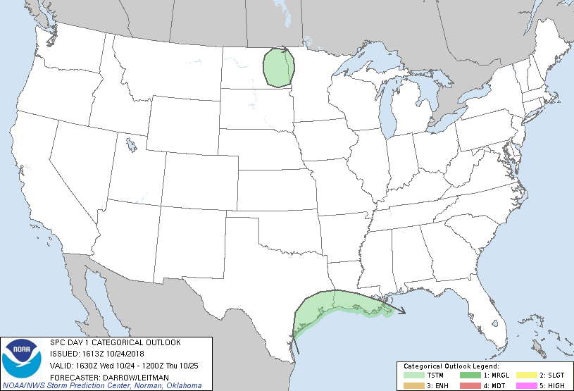
No Risk Areas Forecast
Probabilistic Damaging Wind Graphic
Probability of damaging thunderstorm winds or wind gusts of 50 knots or higher within 25 miles of a point. Hatched Area: 10% of greater probability of wind gusts 65 knots or greater within 25 miles of a point.
Day 1 Wind Risk
Area (sq. mi.)
Area Pop.
Some Larger Population Centers in Risk Area
No Risk Areas Forecast
Probabilistic Large Hail Graphic
Probability of hail 1" or larger within 25 miles of a point. Hatched Area: 10% or greater probability of hail 2" or larger within 25 miles of a point.
Day 1 Hail Risk
Area (sq. mi.)
Area Pop.
Some Larger Population Centers in Risk Area
No Risk Areas Forecast
   SPC AC 241613

   Day 1 Convective Outlook
   NWS Storm Prediction Center Norman OK
   1113 AM CDT Wed Oct 24 2018

   Valid 241630Z - 251200Z

   ...NO SEVERE THUNDERSTORM AREAS FORECAST...

   ...SUMMARY...
   Isolated thunderstorms are expected today over the western/central
   Gulf Coast region, and possibly late tonight over eastern North
   Dakota. No severe weather is expected.

   ...Discussion...

   No changes are warranted to the 13z outlook.

   Latest water-vapor imagery depicts the remnants of Willa have
   progressed across northern Mexico to a position just southwest of
   LRD. This feature will likely aid the development of a weak surface
   low along a frontal zone over the northwest Gulf of Mexico later
   today. Latest radar/lightning data suggests this process is under
   way with a small cluster of thunderstorms currently located just
   east of CRP, drifting slowly northeast along the boundary. As this
   weak low evolves it appears the warm front over the northern Gulf
   Basin will begin to advance toward the upper TX and LA coasts. Deep
   convection along/north of this advancing wind shift may retard the
   northward extent of more buoyant air mass and higher instability
   should remain just offshore. For these reasons will not introduce
   low severe probs; however, strengthening high-level flow ahead of
   Willa/short-wave trough suggests some organizational potential is
   possible if a higher theta-e air mass does spread inland.

   Farther north across the upper Red River Valley, weak elevated
   convection may evolve ahead of a short-wave trough. Greatest
   convective threat will be during the latter half of the period and
   this activity should be driven by low-level warm advection focused
   over eastern ND.

   ..Darrow/Leitman.. 10/24/2018

   CLICK TO GET WUUS01 PTSDY1 PRODUCT

   NOTE: THE NEXT DAY 1 OUTLOOK IS SCHEDULED BY 2000Z