San Antonio, TX...Austin, TX...Waco, TX...Killeen, TX...Round Rock, TX...
Probabilistic Tornado Graphic
Probability of a tornado within 25 miles of a point. Hatched Area: 10% or greater probability of EF2 - EF5 tornadoes within 25 miles of a point.
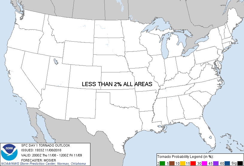
Day 1 Tornado Risk
Area (sq. mi.)
Area Pop.
Some Larger Population Centers in Risk Area
No Risk Areas Forecast
Probabilistic Damaging Wind Graphic
Probability of damaging thunderstorm winds or wind gusts of 50 knots or higher within 25 miles of a point. Hatched Area: 10% of greater probability of wind gusts 65 knots or greater within 25 miles of a point.
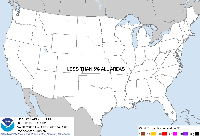
Day 1 Wind Risk
Area (sq. mi.)
Area Pop.
Some Larger Population Centers in Risk Area
No Risk Areas Forecast
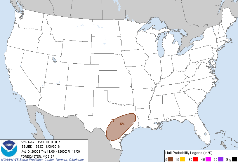
Probabilistic Large Hail Graphic
Probability of hail 1" or larger within 25 miles of a point. Hatched Area: 10% or greater probability of hail 2" or larger within 25 miles of a point.
Day 1 Hail Risk
Area (sq. mi.)
Area Pop.
Some Larger Population Centers in Risk Area
5 %
69,610
7,673,369
San Antonio, TX...Austin, TX...Waco, TX...Killeen, TX...Round Rock, TX...
SPC AC 081933
Day 1 Convective Outlook
NWS Storm Prediction Center Norman OK
0133 PM CST Thu Nov 08 2018
Valid 082000Z - 091200Z
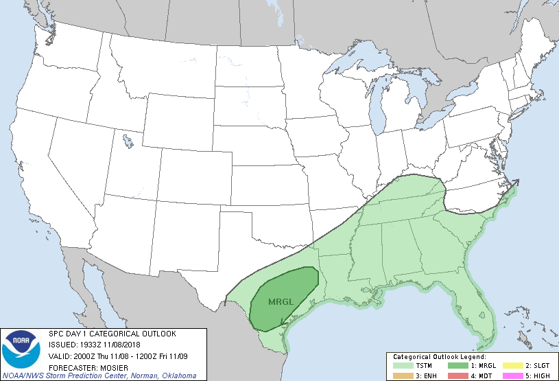
...THERE IS A MARGINAL RISK OF SEVERE THUNDERSTORMS TONIGHT FROM
SOUTH-CENTRAL INTO EAST-CENTRAL TX...
...SUMMARY...
Marginally severe hail is possible tonight across south-central and
east-central Texas.
... South-Central into East-Central TX...
Recent surface analysis placed the front from just north of LRD
eastward to about 35 mi northeast of CRP (very near RKP). This front
is still expected to remain largely stationary until later tonight
when it is expected to surge southward. Airmass south of and
immediately along the front is characterized by temperatures in the
mid 80s and dewpoints in the 70s. A strong storm or two remains
possible in the vicinity of the front for the next few hours but the
relatively higher storm coverage is still anticipated later
tonight/early Friday as thunderstorms develop near the top of the
frontal zone (i.e. close to 850 mb). These elevated storms could
pose a risk for marginally severe hail.
..Mosier.. 11/08/2018
.PREV DISCUSSION... /ISSUED 1018 AM CST Thu Nov 08 2018/
...Synopsis...
Largely zonal flow will persist across the southern states, while a
northern stream shortwave trough digs southeastward over the
northern Plains and upper MS Valley by Friday morning. A
quasi-stationary front now extends from the middle TX coast to
extreme southeast LA to north FL. This front will move little
today, and begin to surge southward across TX late in the period.
Along and south of the front, a tropical air mass is in place with
boundary-layer dewpoints in the 70s. The steeper midlevel lapse
rates are located farther west toward TX, where elevated
thunderstorms atop the frontal surface will pose a marginal hail
threat overnight. Otherwise, elevated convection will increase
overnight into the lower MS and TN Valley regions as ascent
increases in advance of a shortwave trough (now over the southern
Great Basin) that will eject eastward to the MS Valley in advance of
the amplifying northern stream trough.
Farther east, poor midlevel lapse rates and clouds with ongoing
convection near the coast will tend to slow/limit inland
destabilization. Flow in the lower-middle troposphere will remain
relatively weak through the period along the front near the
northeast Gulf coast, which combined with the poor lapse rates and
only weak buoyancy, should limit any threat for severe storms.
CLICK TO GET WUUS01 PTSDY1 PRODUCT
NOTE: THE NEXT DAY 1 OUTLOOK IS SCHEDULED BY 0100Z