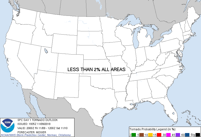
Probability of a tornado within 25 miles of a point. Hatched Area: 10% or greater probability of EF2 - EF5 tornadoes within 25 miles of a point.
Day 1 Tornado Risk
Area (sq. mi.)
Area Pop.
Some Larger Population Centers in Risk Area
No Risk Areas Forecast
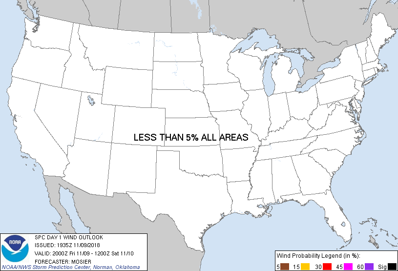
Probabilistic Damaging Wind Graphic
Probability of damaging thunderstorm winds or wind gusts of 50 knots or higher within 25 miles of a point. Hatched Area: 10% of greater probability of wind gusts 65 knots or greater within 25 miles of a point.
Day 1 Wind Risk
Area (sq. mi.)
Area Pop.
Some Larger Population Centers in Risk Area
No Risk Areas Forecast
Probabilistic Large Hail Graphic
Probability of hail 1" or larger within 25 miles of a point. Hatched Area: 10% or greater probability of hail 2" or larger within 25 miles of a point.
Day 1 Hail Risk
Area (sq. mi.)
Area Pop.
Some Larger Population Centers in Risk Area
No Risk Areas Forecast
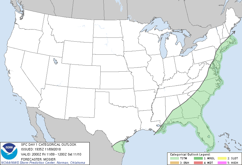
   SPC AC 091935

   Day 1 Convective Outlook
   NWS Storm Prediction Center Norman OK
   0135 PM CST Fri Nov 09 2018

   Valid 092000Z - 101200Z

   ...NO SEVERE THUNDERSTORM AREAS FORECAST...

   ...SUMMARY...
   Isolated to widely scattered thunderstorms will be possible from
   parts of the Gulf Coast States to the Middle Atlantic and coastal
   New England.

   ...20Z Update...
   Only update to the previous outlook was to trim the general thunder
   lines from the west in the wake of the cold front across the
   Southeast. Forecast reasoning outlined in the previous discussion
   (appended below) remains valid with a few stronger storms still
   possible from the western FL Peninsula into southern SC.

   ..Mosier.. 11/09/2018

   .PREV DISCUSSION... /ISSUED 0959 AM CST Fri Nov 09 2018/

   ...Southeast States...
   Scattered showers and thunderstorms will occur today over much of
   the southeastern states.  No areas of organized severe thunderstorms
   are expected.  However, there is a potential for a strong storm or
   two later this afternoon along a corridor from southeast AL into
   central GA/SC along a weak surface boundary.  Limited convergence,
   weak low-level vertical shear, and only marginally favorable
   low-level lapse rates should mitigate this threat.

   CLICK TO GET WUUS01 PTSDY1 PRODUCT

   NOTE: THE NEXT DAY 1 OUTLOOK IS SCHEDULED BY 0100Z