Probability of a tornado within 25 miles of a point. Hatched Area: 10% or greater probability of EF2 - EF5 tornadoes within 25 miles of a point.
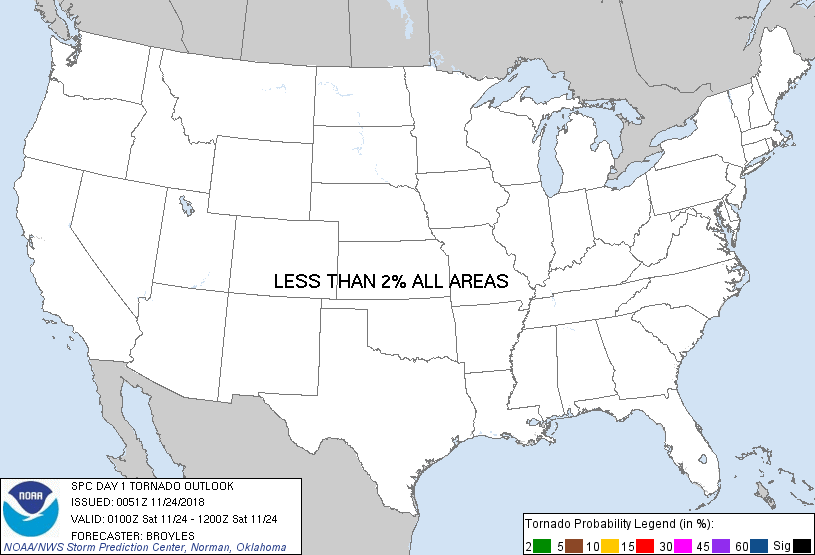
Day 1 Tornado Risk
Area (sq. mi.)
Area Pop.
Some Larger Population Centers in Risk Area
No Risk Areas Forecast
Probabilistic Damaging Wind Graphic
Probability of damaging thunderstorm winds or wind gusts of 50 knots or higher within 25 miles of a point. Hatched Area: 10% of greater probability of wind gusts 65 knots or greater within 25 miles of a point.
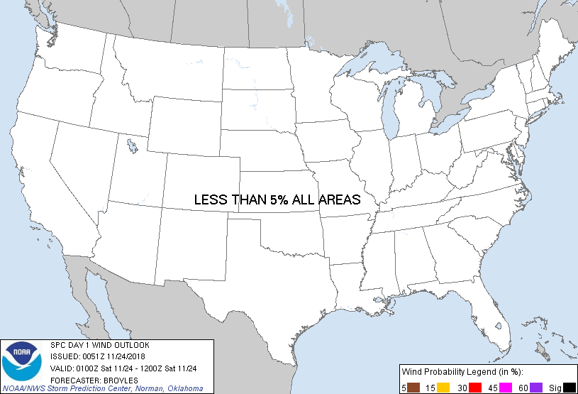
Day 1 Wind Risk
Area (sq. mi.)
Area Pop.
Some Larger Population Centers in Risk Area
No Risk Areas Forecast
Probabilistic Large Hail Graphic
Probability of hail 1" or larger within 25 miles of a point. Hatched Area: 10% or greater probability of hail 2" or larger within 25 miles of a point.
Day 1 Hail Risk
Area (sq. mi.)
Area Pop.
Some Larger Population Centers in Risk Area
No Risk Areas Forecast
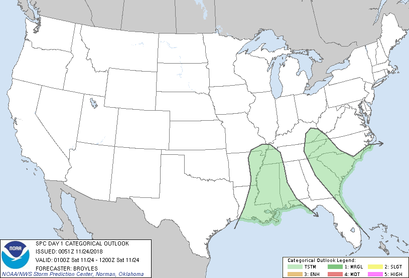
   SPC AC 240051

   Day 1 Convective Outlook
   NWS Storm Prediction Center Norman OK
   0651 PM CST Fri Nov 23 2018

   Valid 240100Z - 241200Z

   ...NO SEVERE THUNDERSTORM AREAS FORECAST...

   ...SUMMARY...
   Isolated thunderstorms will be possible tonight across parts of the
   lower to mid Mississippi Valley and from the southern Atlantic
   Seaboard into the southern Appalachians. No severe threat is
   expected.

   An upper-level trough will move eastward across the mid Mississippi
   Valley and central Gulf Coast States tonight. A few thunderstorms
   will be possible this evening near the trough in the lower to mid
   Mississippi Valley along a corridor of low-level moisture. Isolated
   thunderstorms will also be possible ahead of the trough from the
   southern Atlantic Seaboard north-northwestward into the southern
   Appalachians as large-scale ascent moves from west to east across
   the region.  Due to weak instability, none of the thunderstorm
   activity is expected to be severe tonight.

   ..Broyles.. 11/24/2018

   CLICK TO GET WUUS01 PTSDY1 PRODUCT

   NOTE: THE NEXT DAY 1 OUTLOOK IS SCHEDULED BY 0600Z