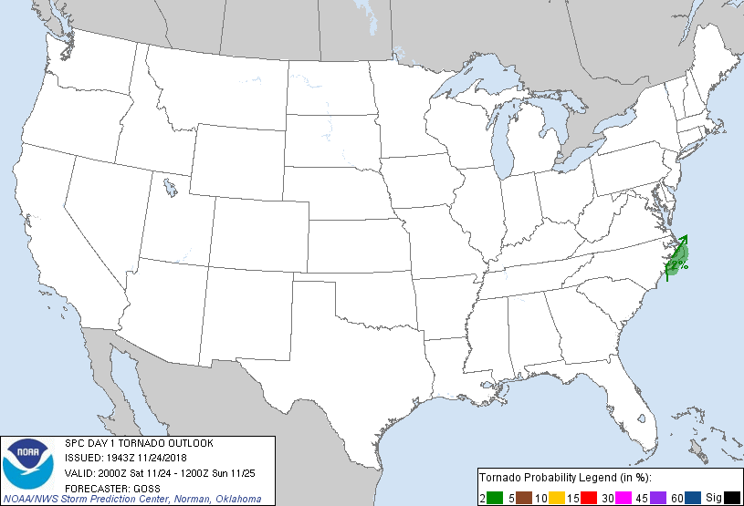
Probability of a tornado within 25 miles of a point. Hatched Area: 10% or greater probability of EF2 - EF5 tornadoes within 25 miles of a point.
Day 1 Tornado Risk
Area (sq. mi.)
Area Pop.
Some Larger Population Centers in Risk Area
2 %
3,597
97,977
Havelock, NC...
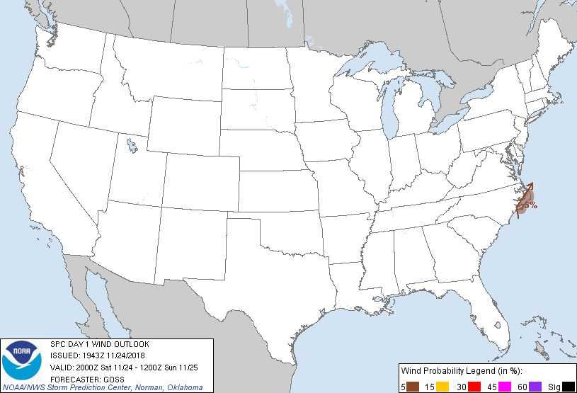
Probabilistic Damaging Wind Graphic
Probability of damaging thunderstorm winds or wind gusts of 50 knots or higher within 25 miles of a point. Hatched Area: 10% of greater probability of wind gusts 65 knots or greater within 25 miles of a point.
Day 1 Wind Risk
Area (sq. mi.)
Area Pop.
Some Larger Population Centers in Risk Area
5 %
3,607
97,977
Havelock, NC...
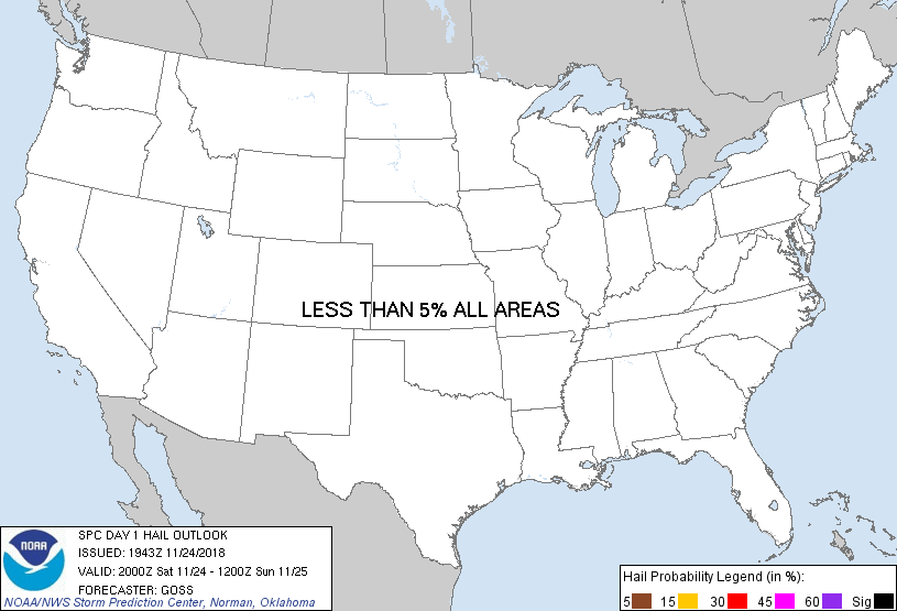
Probabilistic Large Hail Graphic
Probability of hail 1" or larger within 25 miles of a point. Hatched Area: 10% or greater probability of hail 2" or larger within 25 miles of a point.
Day 1 Hail Risk
Area (sq. mi.)
Area Pop.
Some Larger Population Centers in Risk Area
No Risk Areas Forecast
SPC AC 241943
Day 1 Convective Outlook
NWS Storm Prediction Center Norman OK
0143 PM CST Sat Nov 24 2018
Valid 242000Z - 251200Z
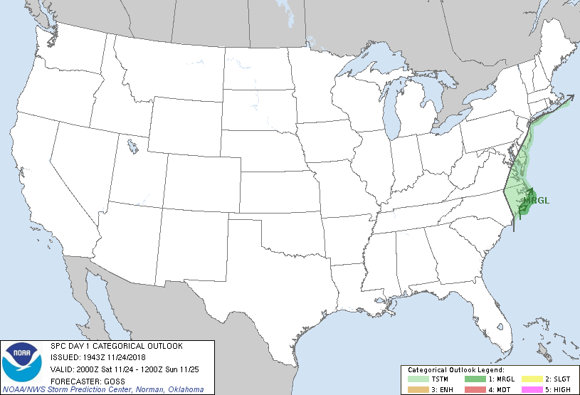
...THERE IS A MARGINAL RISK OF SEVERE THUNDERSTORMS ACROSS THE NORTH
CAROLINA OUTER BANKS AREA...
...SUMMARY...
A brief tornado and locally damaging winds may persist until roughly
6 PM EST along the North Carolina coast.
...Discussion...
Current forecast reasoning -- as described in the prior outlook and
in SWOMCD #1656 -- continues to accurately portray the evolving
convective scenario over the middle and southern Atlantic Coast
regions. One fairly well-developed supercell continues moving
across Carteret County NC. Limited risk for locally gusty winds
and/or a brief tornado will exist with this cell, and possible a
couple of others near the Outer Banks later on, prior to convection
shifting further offshore as the parent upper system moves quickly
across the region and into the western Atlantic this evening.
..Goss.. 11/24/2018
.PREV DISCUSSION... /ISSUED 1020 AM CST Sat Nov 24 2018/
...Eastern NC...
A vigorous shortwave trough over the southern Appalachians will
reach the Mid-Atlantic States by this evening. An associated 1009-mb
cyclone between Myrtle Beach and Wilmington will deepen as an 80-kt
500-mb jet over TN ejects through the base of the trough. Latest
NAM/RAP models are generally consistent in suggesting the cyclone
will track more northward, inland across eastern NC along an
inverted trough currently present through the VA Tidewater. However,
given a broad swath of stratiform rain ahead of the cyclone and
surface-based instability still offshore at present, this guidance
is probably too aggressive with the degree of inland destabilization
through the afternoon. Current thinking is that the surface cyclone
should track closer to the coast/Outer Banks region, similar to the
GFS. Rather large, curved hodographs will clearly favor low-level
updraft rotation ahead of the low, but the degree of surface-based
buoyancy will be critical to potential tornado and damaging wind
hazards. Have made no adjustments to Marginal Risk delineation given
the lack of confidence in the potential for NAM/RAP guidance to be
accurate regarding evolution of the boundary layer this afternoon.
CLICK TO GET WUUS01 PTSDY1 PRODUCT
NOTE: THE NEXT DAY 1 OUTLOOK IS SCHEDULED BY 0100Z