SPC AC 290530
Day 1 Convective Outlook
NWS Storm Prediction Center Norman OK
1130 PM CST Wed Nov 28 2018
Valid 291200Z - 301200Z
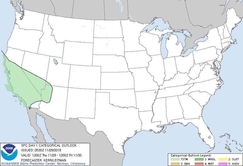
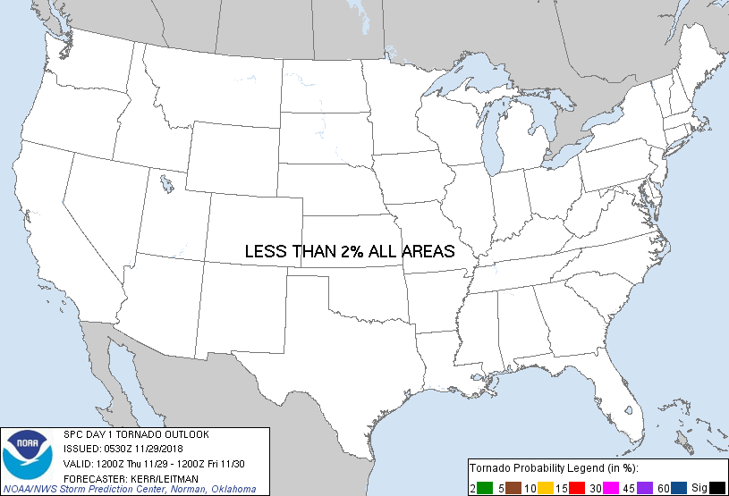
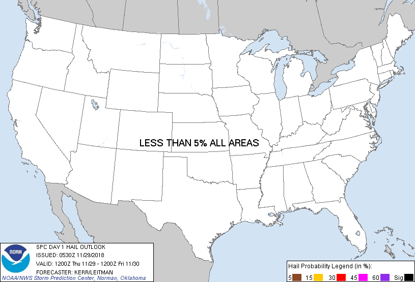
...NO SEVERE THUNDERSTORM AREAS FORECAST...
...SUMMARY...
The risk for severe storms appears negligible across the U.S. today
through tonight.
...Synopsis...
In the wake of mid/upper troughing now progressing away from the
Atlantic Seaboard, the westerlies have trended more zonal across
much of the nation. Generally dry and/or stable conditions prevail,
with appreciable modification unlikely across most areas through at
least this period.
A developing southerly return flow across parts of the lower Rio
Grande Valley and northwestern Gulf of Mexico may allow for modest
moisture return in a plume inland of the Gulf coast, through parts
of the southern Plains and northeastward toward the lower Ohio
Valley, as the boundary layer over the western Gulf continues a
gradual modification.
At the same time, models continue to indicate that a significant
short wave trough will progress inland of the California coast
through southern portions of the Great Basin and Southwest today
through tonight. It appears that this will include the remnants of
a lower/mid tropospheric cyclone, which are generally forecast to
dig through the southwestern periphery of the larger-scale
troughing, across much of central and southern California by 12Z
Friday. An influx of low/mid-level moisture from the subtropical
Pacific preceding this feature, coupled with mid-level cooling
associated with it, may contribute to sufficient destabilization to
support at least low probabilities for thunderstorm activity.
...California...
Given the somewhat modest mid-level cold core (around -24C at 500
mb), and forecast weakening of the low/mid-level cyclone as it
progresses inland, severe weather potential associated with it
still appears negligible. The coldest air aloft is forecast to
spread southeastward across the San Joaquin Valley during the
afternoon hours, but it remains unclear from the output of the
various models whether breaks in overcast will allow for substantive
boundary layer warming and destabilization beneath it.
Strongest low-level wind fields may be confined to the weakly
unstable post-frontal regime near coastal areas, south of San
Francisco Bay through Santa Barbara County, where mean
west/northwesterly flow in the lowest 5-6 km AGL may be on the order
of 30-40+ kt during the afternoon hours. Downward mixing of this
momentum in the more vigorous convective cells may contribute to
strong surface gusts, but any such activity seems likely to
generally remain below severe limits.
..Kerr/Leitman.. 11/29/2018
CLICK TO GET WUUS01 PTSDY1 PRODUCT
NOTE: THE NEXT DAY 1 OUTLOOK IS SCHEDULED BY 1300Z
|