Probability of a tornado within 25 miles of a point. Hatched Area: 10% or greater probability of EF2 - EF5 tornadoes within 25 miles of a point.
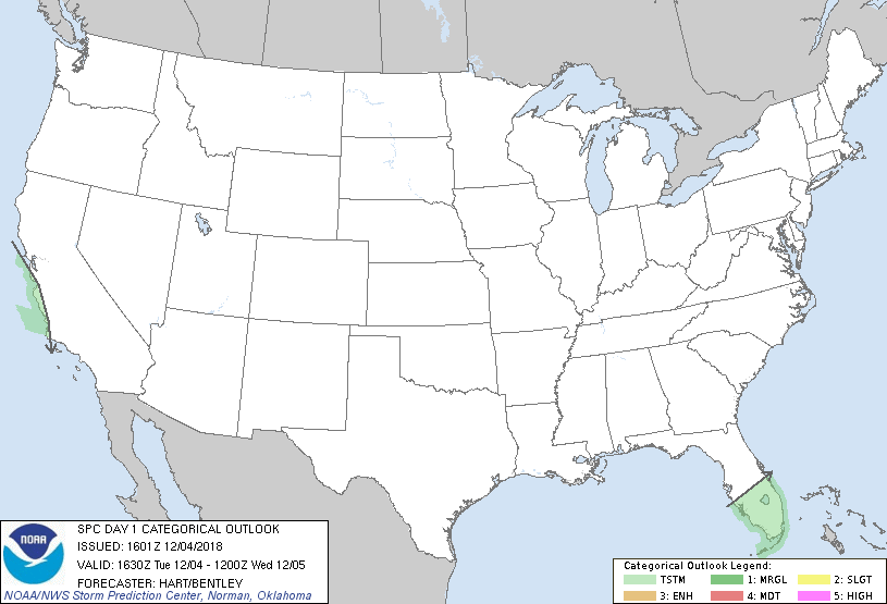
Day 1 Tornado Risk
Area (sq. mi.)
Area Pop.
Some Larger Population Centers in Risk Area
No Risk Areas Forecast
Probabilistic Damaging Wind Graphic
Probability of damaging thunderstorm winds or wind gusts of 50 knots or higher within 25 miles of a point. Hatched Area: 10% of greater probability of wind gusts 65 knots or greater within 25 miles of a point.
Day 1 Wind Risk
Area (sq. mi.)
Area Pop.
Some Larger Population Centers in Risk Area
No Risk Areas Forecast
Probabilistic Large Hail Graphic
Probability of hail 1" or larger within 25 miles of a point. Hatched Area: 10% or greater probability of hail 2" or larger within 25 miles of a point.
Day 1 Hail Risk
Area (sq. mi.)
Area Pop.
Some Larger Population Centers in Risk Area
No Risk Areas Forecast
   SPC AC 041601

   Day 1 Convective Outlook
   NWS Storm Prediction Center Norman OK
   1001 AM CST Tue Dec 04 2018

   Valid 041630Z - 051200Z

   ...NO SEVERE THUNDERSTORM AREAS FORECAST...

   ...SUMMARY...
   Isolated thunderstorms are possible over central and southern
   Florida today, and along the immediate coast of central California
   overnight.

   No important changes have been made to the ongoing forecast.
   Scattered showers and thunderstorms will affect central and south FL
   today along a weak surface boundary.  Other very isolated
   thunderstorms may affect coastal regions of central CA later today
   and tonight as an upper low approaches.  In both cases, weak
   thermodynamics and shear should preclude a risk of severe storms.

   ..Hart/Bentley.. 12/04/2018

   CLICK TO GET WUUS01 PTSDY1 PRODUCT

   NOTE: THE NEXT DAY 1 OUTLOOK IS SCHEDULED BY 2000Z