Probability of a tornado within 25 miles of a point. Hatched Area: 10% or greater probability of EF2 - EF5 tornadoes within 25 miles of a point.
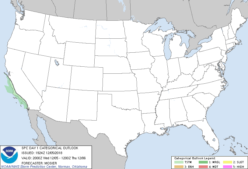
Day 1 Tornado Risk
Area (sq. mi.)
Area Pop.
Some Larger Population Centers in Risk Area
No Risk Areas Forecast
Probabilistic Damaging Wind Graphic
Probability of damaging thunderstorm winds or wind gusts of 50 knots or higher within 25 miles of a point. Hatched Area: 10% of greater probability of wind gusts 65 knots or greater within 25 miles of a point.
Day 1 Wind Risk
Area (sq. mi.)
Area Pop.
Some Larger Population Centers in Risk Area
No Risk Areas Forecast
Probabilistic Large Hail Graphic
Probability of hail 1" or larger within 25 miles of a point. Hatched Area: 10% or greater probability of hail 2" or larger within 25 miles of a point.
Day 1 Hail Risk
Area (sq. mi.)
Area Pop.
Some Larger Population Centers in Risk Area
No Risk Areas Forecast
   SPC AC 051924

   Day 1 Convective Outlook
   NWS Storm Prediction Center Norman OK
   0124 PM CST Wed Dec 05 2018

   Valid 052000Z - 061200Z

   ...NO SEVERE THUNDERSTORM AREAS FORECAST...

   ...SUMMARY...
   Isolated thunderstorms may occur over portions of coastal central
   and southern California today and tonight.

   ...20Z Update...
   No changes are needed to the previous outlook. See previous
   discussion below for forecast details.

   ..Mosier.. 12/05/2018

   .PREV DISCUSSION... /ISSUED 1020 AM CST Wed Dec 05 2018/

   ...Synopsis...
   A slow moving mid-level trough will approach the California coast
   today bringing widespread rainfall and isolated thunderstorms to the
   central and southern California coast. Elsewhere across the CONUS,
   surface high pressure and a cool, continental airmass will limit the
   chances for thunderstorms.

   ...Central and southern coastal CA...
   Thunderstorm chances will increase through the day along coastal
   central and southern California. Cooling temperatures aloft and
   relatively warm ocean temperatures will lead to weak surface based
   instability by this afternoon. Given the need for the warm waters to
   fuel this instability, any thunderstorm threat will end quickly as
   thunderstorms move inland into an increasingly stable environment.
   Shear profiles could support an isolated rotating storm in southern
   California if any stronger updrafts develop, but weak instability
   should limit this threat.

   CLICK TO GET WUUS01 PTSDY1 PRODUCT

   NOTE: THE NEXT DAY 1 OUTLOOK IS SCHEDULED BY 0100Z