Probability of a tornado within 25 miles of a point. Hatched Area: 10% or greater probability of EF2 - EF5 tornadoes within 25 miles of a point.
Day 1 Tornado Risk
Area (sq. mi.)
Area Pop.
Some Larger Population Centers in Risk Area
No Risk Areas Forecast
Probabilistic Damaging Wind Graphic
Probability of damaging thunderstorm winds or wind gusts of 50 knots or higher within 25 miles of a point. Hatched Area: 10% of greater probability of wind gusts 65 knots or greater within 25 miles of a point.
Day 1 Wind Risk
Area (sq. mi.)
Area Pop.
Some Larger Population Centers in Risk Area
No Risk Areas Forecast
Probabilistic Large Hail Graphic
Probability of hail 1" or larger within 25 miles of a point. Hatched Area: 10% or greater probability of hail 2" or larger within 25 miles of a point.
Day 1 Hail Risk
Area (sq. mi.)
Area Pop.
Some Larger Population Centers in Risk Area
No Risk Areas Forecast
SPC AC 060050
Day 1 Convective Outlook
NWS Storm Prediction Center Norman OK
0650 PM CST Wed Dec 05 2018
Valid 060100Z - 061200Z
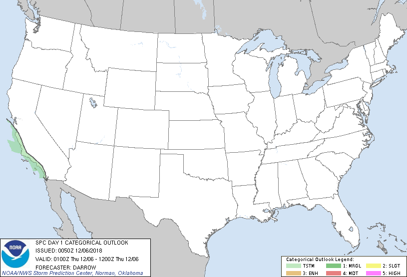
...NO SEVERE THUNDERSTORM AREAS FORECAST...
...SUMMARY...
Isolated thunderstorms may occur over portions of coastal central
and southern California later tonight.
...Discussion...
Early-evening water-vapor imagery depicts a well-defined upper
trough off the southern CA coast. Weak convection with isolated
thunderstorms are currently observed near the vort center which is
roughly 200mi southwest of VBG. As steeper lapse rates shift inland
late tonight the potential for lightning should increase near the
southern CA coast. However, 00z NKX sounding currently exhibits
meager buoyancy thus the primary thunderstorm threat should be after
midnight.
..Darrow.. 12/06/2018
CLICK TO GET WUUS01 PTSDY1 PRODUCT
NOTE: THE NEXT DAY 1 OUTLOOK IS SCHEDULED BY 0600Z