Probability of a tornado within 25 miles of a point. Hatched Area: 10% or greater probability of EF2 - EF5 tornadoes within 25 miles of a point.
Day 1 Tornado Risk
Area (sq. mi.)
Area Pop.
Some Larger Population Centers in Risk Area
No Risk Areas Forecast
Probabilistic Damaging Wind Graphic
Probability of damaging thunderstorm winds or wind gusts of 50 knots or higher within 25 miles of a point. Hatched Area: 10% of greater probability of wind gusts 65 knots or greater within 25 miles of a point.
Day 1 Wind Risk
Area (sq. mi.)
Area Pop.
Some Larger Population Centers in Risk Area
No Risk Areas Forecast
Probabilistic Large Hail Graphic
Probability of hail 1" or larger within 25 miles of a point. Hatched Area: 10% or greater probability of hail 2" or larger within 25 miles of a point.
Day 1 Hail Risk
Area (sq. mi.)
Area Pop.
Some Larger Population Centers in Risk Area
No Risk Areas Forecast
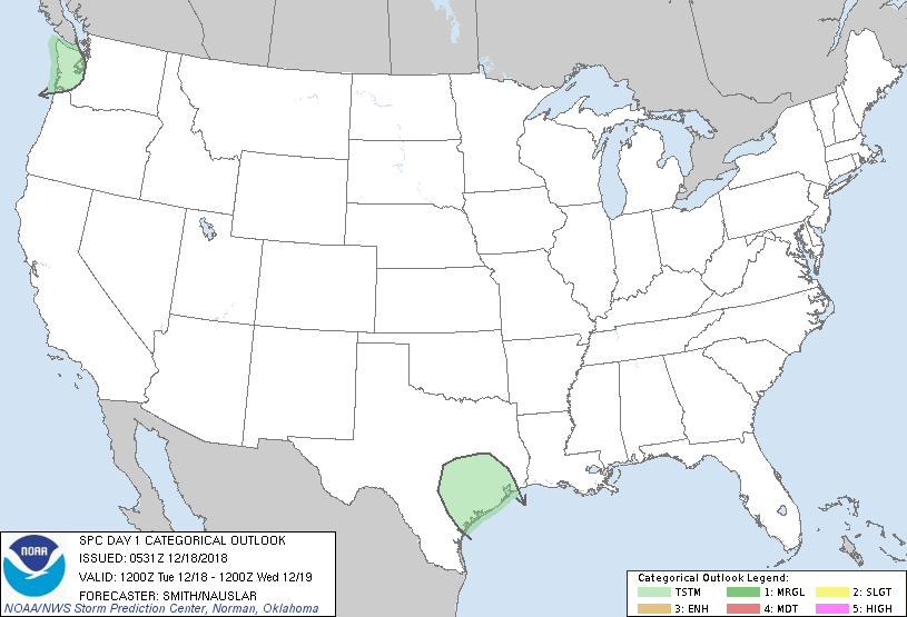
   SPC AC 180531

   Day 1 Convective Outlook
   NWS Storm Prediction Center Norman OK
   1131 PM CST Mon Dec 17 2018

   Valid 181200Z - 191200Z

   ...NO SEVERE THUNDERSTORM AREAS FORECAST...

   ...SUMMARY...
   Severe thunderstorms are not forecast today or tonight across the
   contiguous United States.

   ...Discussion...
   A mid-level shortwave trough over the Southern Rockies will move
   east into TX during the day.  A gradual moistening of the profile
   will contribute to weak instability over the middle and upper
   coastal plain of TX.  Showers and a few thunderstorms are possible
   late in the day into the overnight beginning initially over central
   TX moving into the coastal plain.  Farther west, low-topped
   convection may yield a couple of lightning flashes near the WA coast
   in the left exit region of a Pacific upper jet.

   ..Smith/Nauslar.. 12/18/2018

   CLICK TO GET WUUS01 PTSDY1 PRODUCT

   NOTE: THE NEXT DAY 1 OUTLOOK IS SCHEDULED BY 1300Z