SPC AC 210501
Day 1 Convective Outlook
NWS Storm Prediction Center Norman OK
1101 PM CST Thu Dec 20 2018
Valid 211200Z - 221200Z
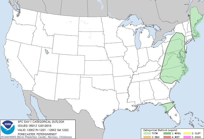
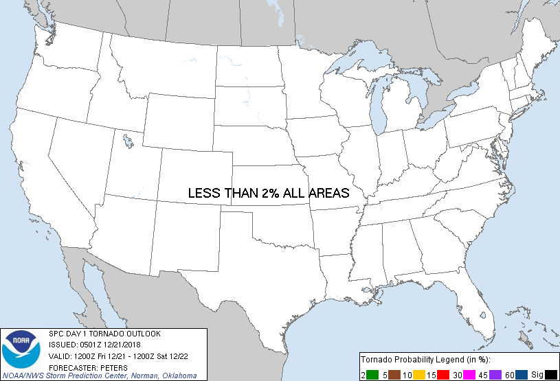
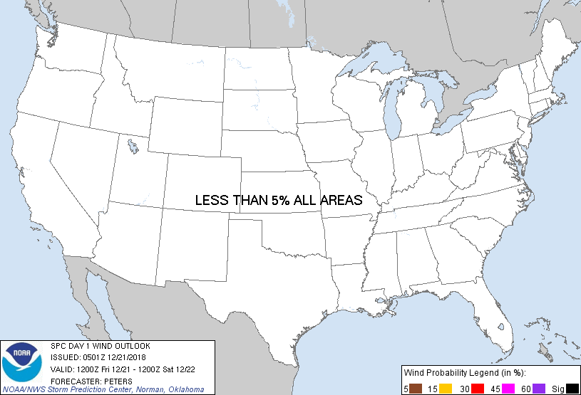
...NO SEVERE THUNDERSTORM AREAS FORECAST...
...SUMMARY...
Isolated thunderstorms will be possible today from the Appalachian
Mountains to part of the Mid-Atlantic States and across
north-central Florida, while some isolated storms are expected late
this afternoon and evening across eastern New England.
...Synopsis...
Very strong 12-hour 500-mb height falls will spread from the
Southeast States to off the Mid-Atlantic Coast through New England
to southern Quebec this forecast period, as a full-latitude trough
lifts northeastward across the eastern United States. This
evolution will occur as a 120kt+ 500-mb jet translates into the
downstream side of the trough and off the Atlantic coast during the
overnight hours, while upstream flow across the contiguous U.S.
become quasi-zonal. At the surface, a warm front will shift
poleward across New England today, with a lead cold front then
advancing east across this region. A secondary cold front will
shift east across the eastern states, and should extend from western
New England to the southern extent of the FL Peninsula by 12Z
Saturday.
...Central Appalachians and Piedmont to MD/Delmarva region...
The greatest potential for destabilization today should be along and
east of the Piedmont region of the Carolinas and VA where surface
heating with residual dew points in the upper 40s to middle 50s are
expected. This combined with cooling 500-mb temperature to at or
below -20 C will steepen lapse rates with buoyancy becoming deep
enough for lightning production, as updrafts develop along the
secondary cold front. Despite the potential for low-topped storms
to occur and spread to the east/northeast, stronger winds
aloft/shear may be displaced east of the colder 500-mb
temperatures/stronger destabilization. This offset in what could be
a favorable CAPE/shear parameter space precludes the introduction of
severe-weather probabilities with this outlook.
...Eastern New England...
Although a modified warm sector will advance northward across
eastern New England into this afternoon, limited poleward moisture
return and weak lapse rates will preclude greater destabilization
this forecast period. The strongest height falls are expected to
spread across New England from late afternoon into the evening.
This combined with low-level warm advection should result in
sufficient elevated buoyancy, becoming deep enough for some
thunderstorm development.
..Peters/Wendt.. 12/21/2018
CLICK TO GET WUUS01 PTSDY1 PRODUCT
NOTE: THE NEXT DAY 1 OUTLOOK IS SCHEDULED BY 1300Z
|