SPC AC 251625
Day 1 Convective Outlook
NWS Storm Prediction Center Norman OK
1025 AM CST Tue Dec 25 2018
Valid 251630Z - 261200Z
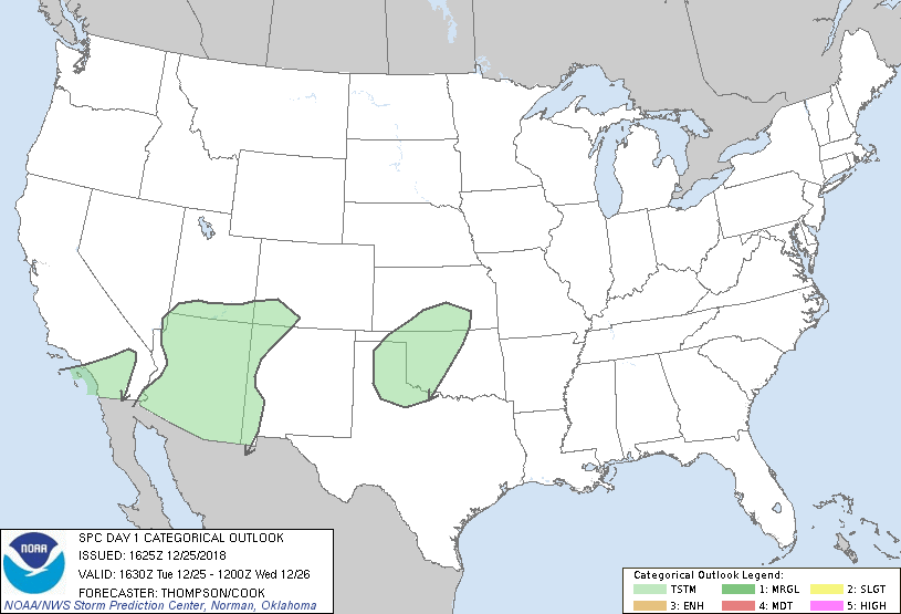
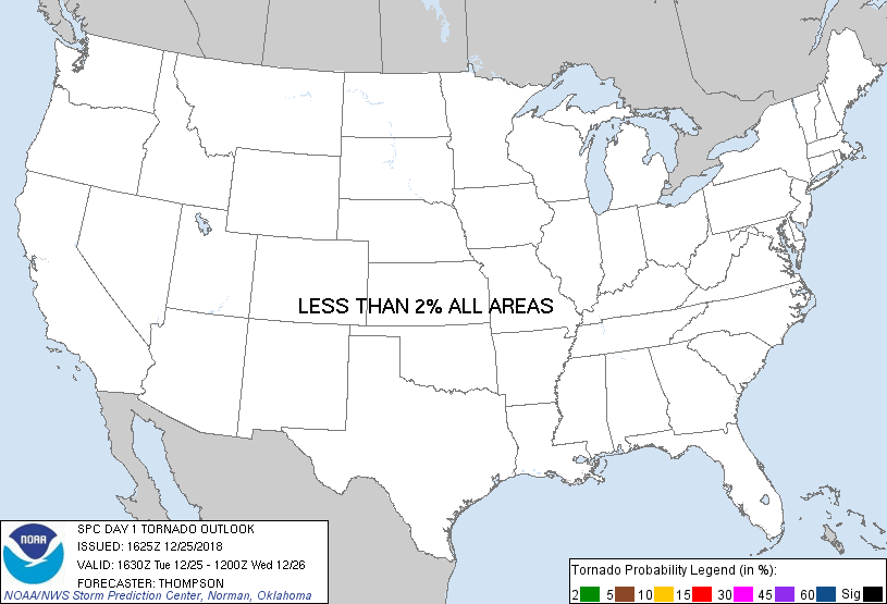
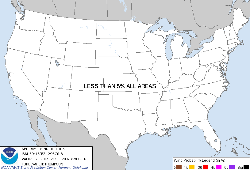
...NO SEVERE THUNDERSTORM AREAS FORECAST...
...SUMMARY...
Thunderstorms are expected across parts of southern California
today, Arizona this evening, and the southern to central Plains
overnight.
...Synopsis...
A pronounced midlevel shortwave trough over southern CA this morning
will move eastward over AZ this evening and northwestern Mexico and
western New Mexico by 26/12z. Isolated thunderstorms will be
possible today across southern CA within the steep lapse rate
environment with cool midlevel temperatures (-24 C at 500 mb) and
weak buoyancy. This regime will spread eastward across AZ by this
evening, where modest low-midlevel moistening will support weak
buoyancy and an attendant isolated thunderstorm threat. Farther
east, moisture return is underway across south TX, where
boundary-layer dewpoints are in the mid 60s. The moist layer will
spread north-northwestward but remain capped until late tonight,
when low-level warm advection and moistening/ascent should be
sufficient for a few elevated thunderstorms from northwestern TX to
southern KS. Some small hail cannot be ruled out from 06-12z
Wednesday morning, though severe hail appears unlikely.
..Thompson/Cook.. 12/25/2018
CLICK TO GET WUUS01 PTSDY1 PRODUCT
NOTE: THE NEXT DAY 1 OUTLOOK IS SCHEDULED BY 2000Z
|