Probability of a tornado within 25 miles of a point. Hatched Area: 10% or greater probability of EF2 - EF5 tornadoes within 25 miles of a point.
Day 1 Tornado Risk
Area (sq. mi.)
Area Pop.
Some Larger Population Centers in Risk Area
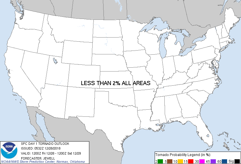
No Risk Areas Forecast
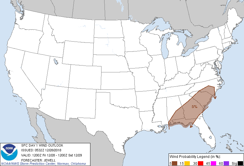
Probabilistic Damaging Wind Graphic
Probability of damaging thunderstorm winds or wind gusts of 50 knots or higher within 25 miles of a point. Hatched Area: 10% of greater probability of wind gusts 65 knots or greater within 25 miles of a point.
Probability of hail 1" or larger within 25 miles of a point. Hatched Area: 10% or greater probability of hail 2" or larger within 25 miles of a point.
Day 1 Hail Risk
Area (sq. mi.)
Area Pop.
Some Larger Population Centers in Risk Area
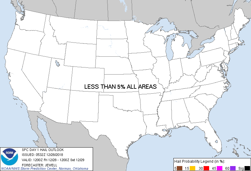
No Risk Areas Forecast
SPC AC 280532
Day 1 Convective Outlook
NWS Storm Prediction Center Norman OK
1132 PM CST Thu Dec 27 2018
Valid 281200Z - 291200Z
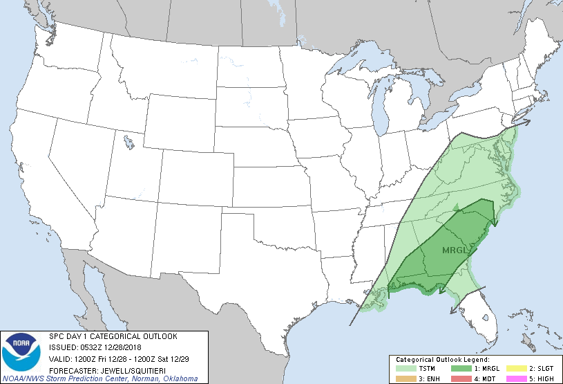
...THERE IS A MARGINAL RISK OF SEVERE THUNDERSTORMS ACROSS PARTS OF
THE SOUTHEAST...
...SUMMARY...
A few strong to severe storms are possible Friday from the Florida
Panhandle into the Carolinas.
...Synopsis...
A broad area of 70+ kt southwest flow aloft will extend from the
southern High Plains into the Northeast, with a dying jet max over
the TN Valley and an intensifying 100+ kt jet north of the Ohio
River. Meanwhile, an upper ridge will hold over the Bahamas,
minimizing any further height falls over the Southeast.
At the surface, low pressure will move from the Great Lakes into
southern Quebec, with a cold front extending southwestward across
the Appalachians into AL and GA during the afternoon. A broad fetch
of 60s dewpoints will exist ahead of the front, resulting in weak
instability. In response to the OH Valley jet, southwesterly 850 mb
winds will generally veer and decrease in intensity through the
period over the Southeast and Mid Atlantic.
...Florida Panhandle northeastward into the Carolinas...
A line of thunderstorms is likely to be ongoing along a cold front
from southeast AL into the FL Panhandle Friday morning, which should
continue eastward across GA and into the Carolinas during the day.
Forecast soundings show weak low to midlevel lapse rates but
sufficient instability to support scattered storms. While shear
profiles appear marginally favorable to sustain organized storms,
winds aloft will be parallel to the front, and, low-level shear will
be decreasing with time. The strongest lift due mainly to warm
advection will be over the Carolinas, and this region may also feel
the effects of the right entrance region of the departing upper jet
as well. The greatest chance for a few strong to damaging wind gusts
will be with the line of storms along the front and/or advancing
outflow during the day.
..Jewell/Squitieri.. 12/28/2018
CLICK TO GET WUUS01 PTSDY1 PRODUCT
NOTE: THE NEXT DAY 1 OUTLOOK IS SCHEDULED BY 1300Z