SPC AC 290517
Day 1 Convective Outlook
NWS Storm Prediction Center Norman OK
1117 PM CST Fri Dec 28 2018
Valid 291200Z - 301200Z
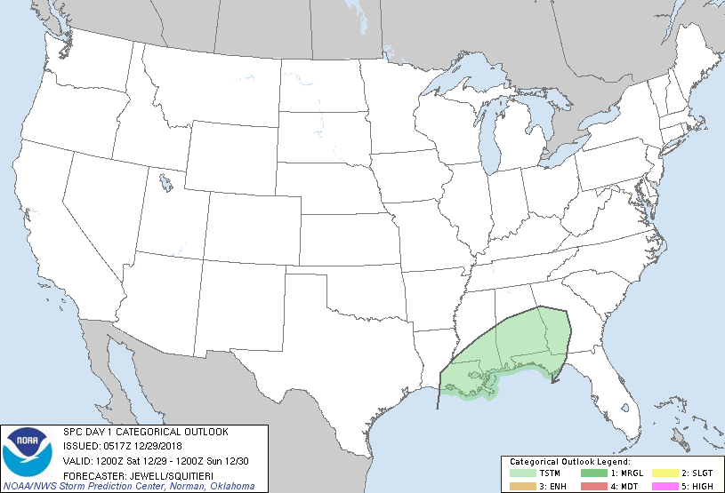
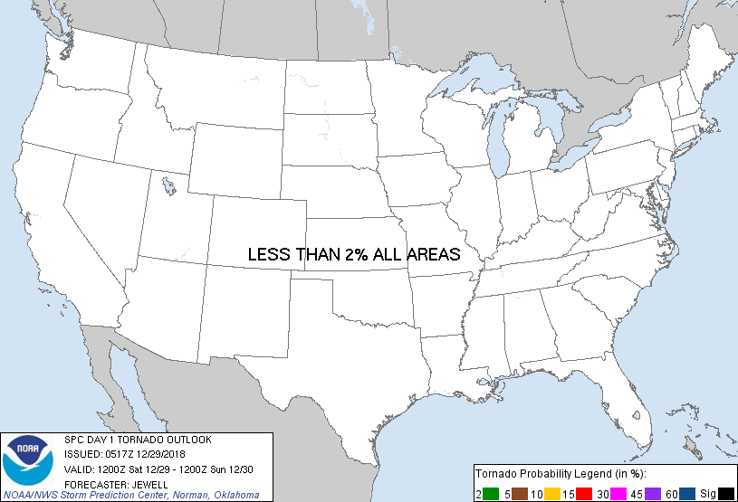
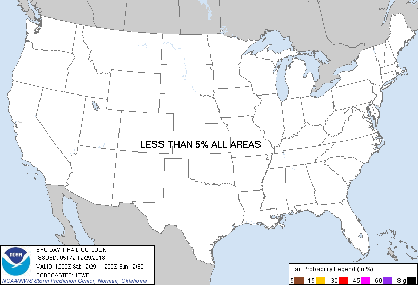
...NO SEVERE THUNDERSTORM AREAS FORECAST...
...SUMMARY...
Severe weather is unlikely across the nation on Saturday.
...Synopsis and Discussion...
High pressure will exist across the bulk of the CONUS on Saturday
with the surface ridge along a line from the Great Basin to the Ohio
Valley. This will maintain relatively cool and stable conditions for
most areas, along with offshore surface winds across much of the
Gulf Coast and Mid Atlantic.
In the upper levels, a low will sink southward out of AZ and NM into
northern Mexico, with a broad zone of strong southwesterly flow
aloft from the southern Plains to the East Coast. Little in the way
of large scale lift/height falls will exist across the southern
quarter of the CONUS due to an upper high over the Bahamas.
While surface based instability up to 500 J/kg will exist offshore
the northern Gulf Coast and over parts of FL, any lift will likely
be relegated to weak warm advection, resulting in elevated showers
and a few thunderstorms primarily from southern LA, MS, and AL
during the day and possibly into GA overnight. Weak lift along with
poor lapse rates and instability will preclude any threat of severe
weather on Saturday.
..Jewell/Squitieri.. 12/29/2018
CLICK TO GET WUUS01 PTSDY1 PRODUCT
NOTE: THE NEXT DAY 1 OUTLOOK IS SCHEDULED BY 1300Z
|