SPC AC 220625
Day 2 Convective Outlook
NWS Storm Prediction Center Norman OK
1225 AM CST Mon Jan 22 2018
Valid 231200Z - 241200Z
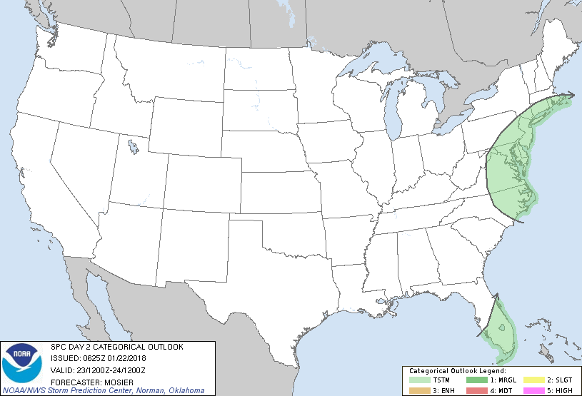
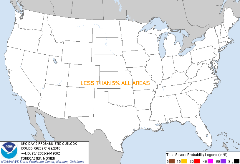
...NO SEVERE THUNDERSTORM AREAS FORECAST...
...SUMMARY...
Thunderstorms are possible from portions of the Mid-Atlantic into
southern New England Tuesday morning through Tuesday afternoon and
across the southern Florida Peninsula Tuesday afternoon.
...Synopsis...
Mature cyclone will eject northeastward through the Northeast with
accompanying strong flow aloft stretching from the Southeast states
into the Canadian Maritimes. At the surface, occluded low will drift
northeastward across southern Ontario/Quebec ahead of the parent
upper trough while another low develops over New England. Related
cold front will sweep quickly eastward from its initial position
along the Piedmont across the Mid-Atlantic states.
Across the central and western CONUS, a shortwave trough will
progress from the northern/central Plains into the mid MS Valley
while another shortwave trough approaches the Pacific Northwest
coast late in the period.
...Mid-Atlantic...
Airmass ahead of the approaching front will likely be characterized
by temperatures in the upper 50s/low 60s, dewpoints in the upper
50s, and southerly/southwesterly winds. Given that the better lift
and cooler mid-level temperatures will be displaced north of the
region, instability will be tempered by the generally moist profiles
and relatively warm mid-level temperatures. Best overlap of lift and
low-level moisture will likely exist across northern portions of the
Mid-Atlantic region. In this area, a narrow line of convection is
anticipated along the front. Some elevated warm-air advection
showers and thunderstorms are possible as well.
Strong wind fields will support fast storm motion and the strongly
sheared environment may result in a few more organized updrafts. As
a result, the potential for a few damaging wind gusts exists.
However, limited instability will temper updraft strength and
persistence, resulting in low severe storm coverage, precluding the
need to delineate any threat areas.
..Mosier.. 01/22/2018
CLICK TO GET WUUS02 PTSDY2 PRODUCT
NOTE: THE NEXT DAY 2 OUTLOOK IS SCHEDULED BY 1730Z
|