SPC AC 270611
Day 2 Convective Outlook
NWS Storm Prediction Center Norman OK
1211 AM CST Sat Jan 27 2018
Valid 281200Z - 291200Z
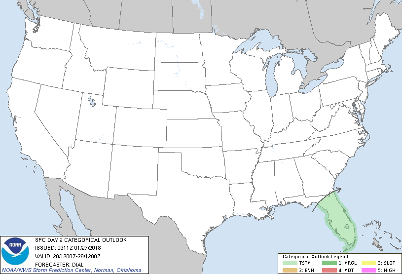
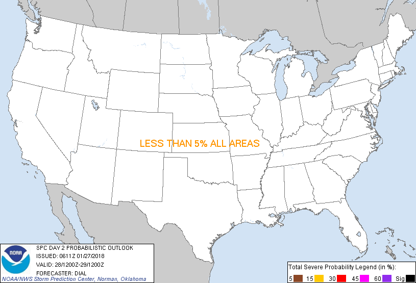
...NO SEVERE THUNDERSTORM AREAS FORECAST...
...SUMMARY...
Widespread showers and a few thunderstorms are expected over the
Florida Peninsula Sunday.
...Fl Peninsula...
No change has been made to previous forecast. Synoptic trough will
advance slowly through the eastern states on Sunday, while a weaker
impulse moves across the northeast Gulf and the FL Peninsula. Cold
front initially from New England to the western Gulf will move
slowly southeast, reaching the northern FL Peninsula Sunday night.
Modifying continental-polar air will advect through the pre-frontal
warm sector contributing to destabilization, but instability should
remain marginal (generally at or below 500 J/kg) due to multi-layer
clouds and weak lapse rates. Forcing for ascent accompanying the
northeast-Gulf impulse will contribute to widespread showers with
embedded thunderstorms spreading inland Sunday and continuing into
the overnight.
..Dial.. 01/27/2018
CLICK TO GET WUUS02 PTSDY2 PRODUCT
NOTE: THE NEXT DAY 2 OUTLOOK IS SCHEDULED BY 1730Z
|