SPC AC 171659
Day 2 Convective Outlook
NWS Storm Prediction Center Norman OK
1059 AM CST Sat Feb 17 2018
Valid 181200Z - 191200Z
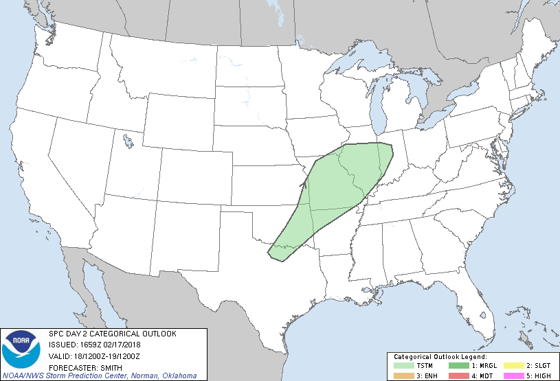
...NO SEVERE THUNDERSTORM AREAS FORECAST...
...SUMMARY...
Thunderstorms are forecast to evolve Sunday evening/overnight from
parts of the southern Plains into the lower Missouri/mid Mississippi
Valleys. Showers and embedded/sporadic lightning may also occur
over parts of the Intermountain West.
...Synopsis...
The mid- to upper-level pattern will begin to amplify on Sunday as a
ridge strengthens across the eastern U.S. and a trough digs
southward along the West Coast. Surface low pressure will develop
across the central High Plains in response to the western states'
mid-level trough. Southerly low-level flow will intensify from the
TX coast north towards the Ozarks with a warm-air-advection regime
continuing through the period across the southern Great Plains into
the middle MS Valley. Increasing moisture will aid in the
development of showers and thunderstorms across the middle MS Valley
Sunday night while more isolated activity is possible from AR/OK and
into north-central TX early Monday morning. Weak elevated
instability will limit thunderstorm intensity. Farther west, a few
widely spaced thunderstorms are possible from interior WA/OR east to
WY, but coverage will probably be less than 10 percent.
..Smith.. 02/17/2018
CLICK TO GET WUUS02 PTSDY2 PRODUCT
NOTE: THE NEXT DAY 2 OUTLOOK IS SCHEDULED BY 0700Z
|