SPC AC 181655
Day 2 Convective Outlook
NWS Storm Prediction Center Norman OK
1055 AM CST Sun Feb 18 2018
Valid 191200Z - 201200Z
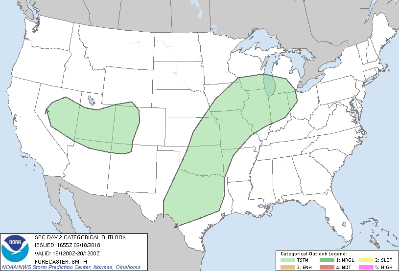
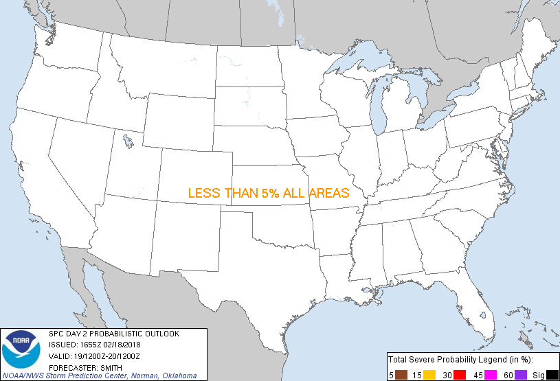
...NO SEVERE THUNDERSTORM AREAS FORECAST...
...SUMMARY...
Organized severe thunderstorms are not forecast across the Lower 48
states on Monday.
...Synopsis...
An amplified pattern featuring a large-scale mid-level trough over
ID through CA will pivot eastward to WY/MT and into the Four Corners
by early Tuesday. A lower-latitude trough over northern Baja
California on Sunday will eject eastward and weaken by early Monday
over NM. This disturbance will weaken while its southern portion
moves into the southern High Plains late Monday night ahead of the
main trough. A broad, moist conveyer will extend from the TX Gulf
Coast north and northeastward into the southern Great Lakes.
Episodic bouts of showers/thunderstorms are forecast to develop
within this elongated corridor with considerable cloudiness expected
to stifle stronger surface heating. Instability is forecast to be
greatest across the southern Great Plains to the east of a dryline
where upwards of 500+ J/kg MLCAPE may develop in a narrow plume from
western north-central TX into west-central OK. Yet, forecast model
guidance --including both parameterized and explicit-- do not
develop storms during the afternoon/early evening. As the main
mid-level wave encroaches upon the region late Monday night,
isolated to widely scattered showers and thunderstorms are forecast
from the Edwards Plateau in west-central TX north into central KS
and farther northeast into the southwest Great Lakes.
..Smith.. 02/18/2018
CLICK TO GET WUUS02 PTSDY2 PRODUCT
NOTE: THE NEXT DAY 2 OUTLOOK IS SCHEDULED BY 0700Z
|