SPC AC 021718
Day 2 Convective Outlook
NWS Storm Prediction Center Norman OK
1118 AM CST Fri Mar 02 2018
Valid 031200Z - 041200Z
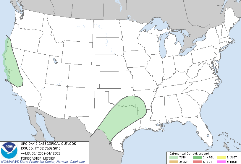
...NO SEVERE THUNDERSTORM AREAS FORECAST...
...SUMMARY...
A few thunderstorms are possible across parts of central and
northern California, and a large portion of Texas, Saturday through
Saturday night. However, severe storms are not expected.
...Synopsis...
Large upper trough initially extending from the Pacific Northwest
coast to the central CA coast will gradually shift eastward through
the Great Basin as a shortwave trough pivots through its southern
periphery. At the same time, downstream upper ridging will persist
across the Plains and MS Valley with its eastward progress slowed by
a mature cyclone off the Eastern Seaboard, resulting in overall
pattern amplification.
Surface pattern will feature a deepening lee low over the central
High Plains and an additional low associated with the Pacific
Northwest system developing over UT. High pressure (associated with
the dry continental airmass in the wake of the northern Atlantic
system) will persist east of the MS River. Some moisture return is
possible on the southern/southwestern periphery of this ridge,
encouraged by increased southerly low to mid-level flow.
Highest thunderstorm coverage across the CONUS is anticipated across
portions of northern and central CA where waves of generally
cellular convection are expected amidst a steep lapse rates/cold
mid-level temperature environment. Isolated thunderstorms are also
anticipated within the warm-air advection regime across the southern
Plains. There is also some indications of a fast-moving,
low-amplitude shortwave trough ejecting into the southern Plains
during the late afternoon/evening.
Sporadic lightning strikes are also possible across the eastern
Great Basin as a frontal band progresses across the region. A strike
or two may also occur within the strong isentropic ascent across the
mid MO Valley. However, in both of these areas, thunderstorm
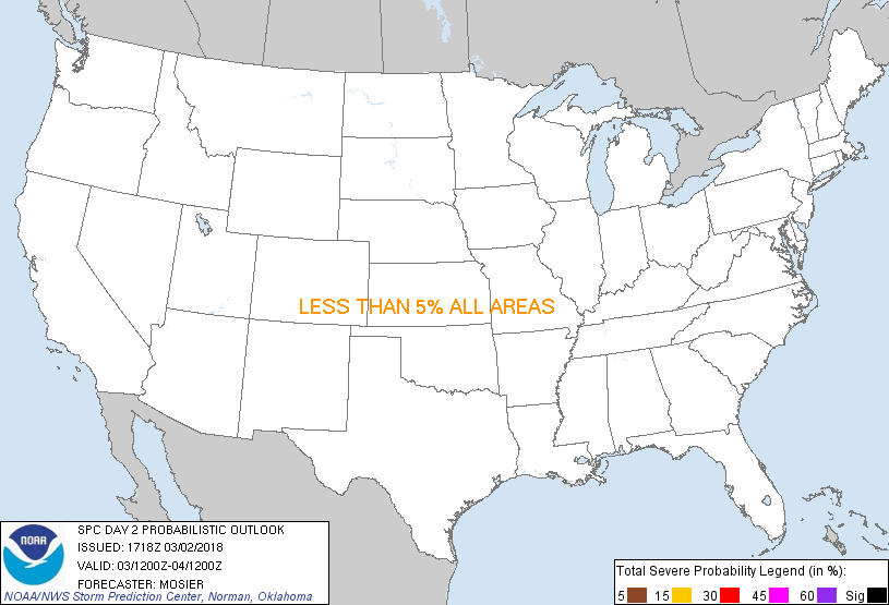
coverage is currently expected to be less than 10%.
..Mosier.. 03/02/2018
CLICK TO GET WUUS02 PTSDY2 PRODUCT
NOTE: THE NEXT DAY 2 OUTLOOK IS SCHEDULED BY 0700Z
|