SPC AC 050545
Day 2 Convective Outlook
NWS Storm Prediction Center Norman OK
1145 PM CST Sun Mar 04 2018
Valid 061200Z - 071200Z
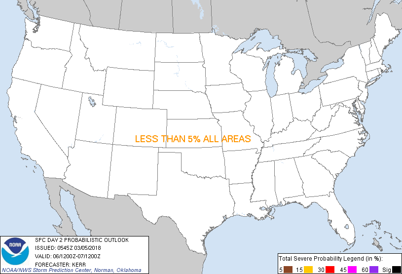
...NO SEVERE THUNDERSTORM AREAS FORECAST...
...SUMMARY...
Some thunderstorm activity is possible across parts of the Gulf
Coast into south Atlantic Coast states Tuesday into Tuesday night,
but the risk for severe storms currently appears negligible (i.e.
less than 5 percent).
...Discussion...
In general, the latest model output offers little different from
prior runs for this period. Blocking within the large-scale
mid/upper flow appears likely to persist. Within this regime, over
the U.S., one closed low likely will be centered near the Upper
Midwest vicinity at 12Z Tuesday, with a number of perturbations
migrating around it. At least one significant impulse, initially on
its western periphery, is forecast to pivot through the middle/lower
Missouri Valley, before continuing to rapidly dig toward the
Southeastern states. By late Tuesday night, it appears that this
will contributing to amplifying and strengthening cyclonic flow
across much of the Southeast. Secondary cyclogenesis probably will
commence near the North Carolina coast, as an initial occluded
cyclone continues to weaken over southern portions of the Great
Lakes region into the Ohio Valley. The cold front trailing from
this latter feature is expected to advance through much of the
remainder of the Southeast (aside from portions of the central and
southern Florida Peninsula). Some thunderstorm activity is possible
along and ahead of the front, otherwise generally stable conditions
across much of the rest of the nation will result in minimal
convective potential.
...Northeastern Gulf coast region into south Atlantic coast...
Thunderstorms may be ongoing at 12Z Tuesday across parts of
southeastern Louisiana/Mississippi, and southern Alabama into the
western Florida Panhandle. Much of this may be associated with a
weak frontal wave, aided by associated forcing for ascent. Vertical
shear may also be potentially supportive of severe weather
potential, but model guidance suggests probabilities for much more
than a couple hundred J/kg of CAPE are relatively low, which seems
likely to preclude an appreciable risk for severe weather. Little
further destabilization is forecast through the day, and as the
associated forcing for ascent weakens, lingering thunderstorm
activity is expected to diminish while spreading eastward across
parts of southern Georgia and northern Florida.
An increase in thunderstorm development is expected to accompany the
onset of the secondary surface cyclogenesis Tuesday night, but
potential for vigorous storms probably will remain offshore. Other
pre-frontal thunderstorm activity may attempt to develop inland off
the northeastern Gulf of Mexico into northern/central portions of
the Florida Peninsula Tuesday night. But, again, potential for
sufficient destabilization to support an appreciable risk for severe
weather in the presence strengthening wind fields remains unclear.
..Kerr.. 03/05/2018
CLICK TO GET WUUS02 PTSDY2 PRODUCT
NOTE: THE NEXT DAY 2 OUTLOOK IS SCHEDULED BY 1730Z
|