SPC AC 230542
Day 2 Convective Outlook
NWS Storm Prediction Center Norman OK
1242 AM CDT Fri Mar 23 2018
Valid 241200Z - 251200Z
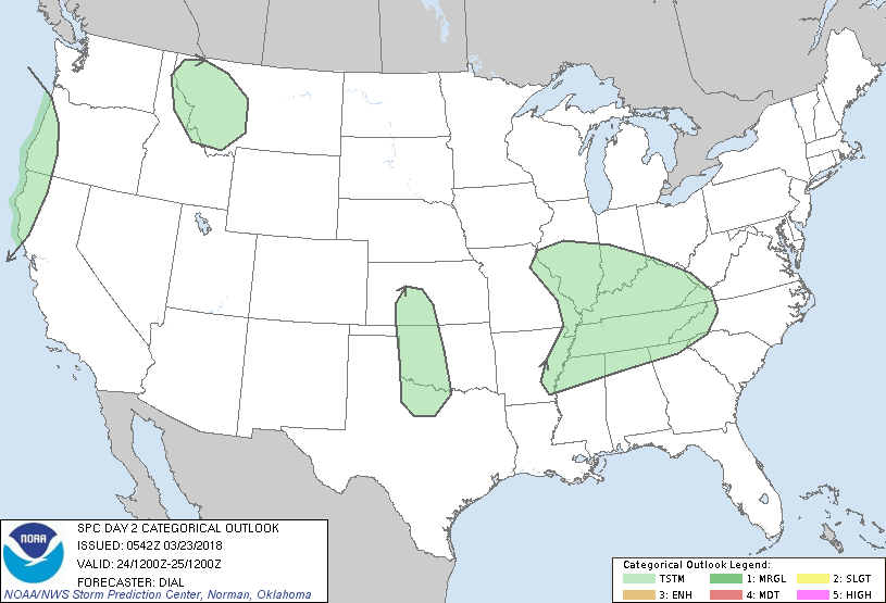
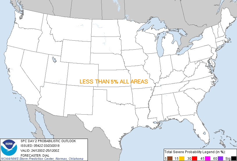
...NO SEVERE THUNDERSTORM AREAS FORECAST...
...SUMMARY...
A few thunderstorms are possible Saturday primarily across the Ohio
Valley and along the Pacific Northwest Coast during the day. Other
thunderstorms might occur late Saturday night over a portion of the
the southern and central High Plains.
...Ohio and Tennessee Valley regions...
A low-amplitude shortwave trough will deamplify as it advances east
through the OH and TN Valleys during the day. Lee cyclone attendant
to this feature will weaken as it moves through KY and TN with warm
front extending southeast from the low. The trailing cold front is
forecast to stall near the TX/OK border. It is likely widespread
showers and a few thunderstorms will be ongoing within zone of
isentropic ascent and weak instability northeast of warm front
across a part of the OH and TN Valleys. Other convection may occur
farther south along warm conveyor belt. This activity will shift
east during the day. While no severe weather is expected, a couple
of instances of small hail cannot be ruled out, mainly early in the
period from northeast MO into western IL.
...Pacific Northwest Coast...
Steep lapse rates accompanying a shortwave trough will result in
weak instability, primarily in post-frontal region near the coast.
Showers and a few thunderstorms are likely to occur later Saturday
afternoon and evening.
...Southern and Central High Plains...
Destabilization will occur Saturday night over the southern and
central High Plains in response to theta-e advection along a
southerly low level jet and beneath eastward expansion of steeper
mid-level lapse rates. The atmosphere across much of this region
will probably remain capped. However, persistent isentropic ascent
north of warm front and downstream from a low-amplitude shortwave
trough might contribute to development of a few elevated storms late
in the period, especially from western OK into KS.
..Dial.. 03/23/2018
CLICK TO GET WUUS02 PTSDY2 PRODUCT
NOTE: THE NEXT DAY 2 OUTLOOK IS SCHEDULED BY 1730Z
|