SPC AC 271724
Day 2 Convective Outlook
NWS Storm Prediction Center Norman OK
1224 PM CDT Fri Apr 27 2018
Valid 281200Z - 291200Z
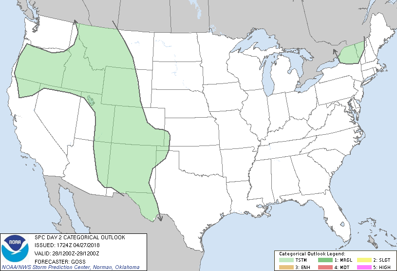
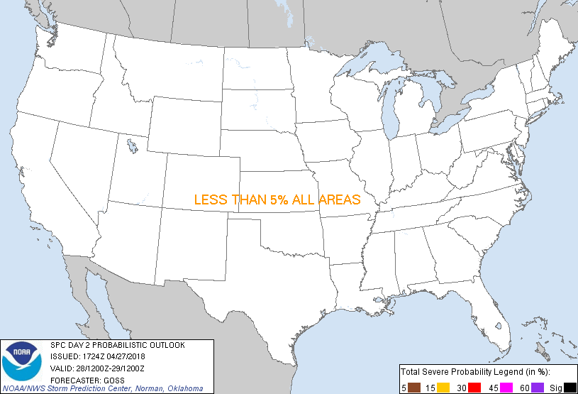
...NO SEVERE THUNDERSTORM AREAS FORECAST...
...SUMMARY...
Scattered daytime thunderstorms are expected across much of the
Rockies, with locally gusty winds possible. A few low-topped
thunderstorms may also occur over the Upstate New York/Vermont area,
within a broader area of showers.
...Discussion...
Gradual progression of the large-scale upper pattern is expected
Saturday, as two separate troughs -- flanking an intervening
western/central U.S. ridge -- advance eastward through the period.
At the surface, a cold front will move eastward across the Northeast
and southward across the Southeast, in advance of the eastern upper
system. In the west, a second front is progged to cross the
Intermountain West/Great Basin region. Showers and embedded
thunderstorms -- particularly through peak diurnal heating -- will
accompany the western frontal advance. In particular, a few
stronger cells may develop during the late afternoon over western
Montana and possibly adjacent eastern Idaho, where the most
favorable CAPE/shear combination is expected. Still, with a low PW
airmass -- and thus entrainment concerns with developing convection
likely to limit storm intensity/longevity, will refrain from
introduction of a severe weather risk area despite very
limited/local potential for evaporatively aided downdrafts.
Elsewhere, showers -- and possibly a few low-topped thunderstorms --
are also expected over parts of the Northeast, maximized during the
afternoon hours. However, severe weather is not expected.
...MAXIMUM RISK BY HAZARD...
Tornado: <2% - None
Wind: <5% - None
Hail: <5% - None
..Goss.. 04/27/2018
CLICK TO GET WUUS02 PTSDY2 PRODUCT
NOTE: THE NEXT DAY 2 OUTLOOK IS SCHEDULED BY 0600Z
|