SPC AC 090557
Day 2 Convective Outlook
NWS Storm Prediction Center Norman OK
1257 AM CDT Thu Aug 09 2018
Valid 101200Z - 111200Z
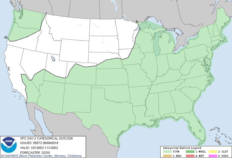
...NO SEVERE THUNDERSTORM AREAS FORECAST...
...SUMMARY...
Scattered thunderstorms are expected Friday over parts of the
southeast two-thirds of the country, and also over parts of the
Pacific Northwest.
...Synopsis...
Gradual eastward progression of the upper flow field is forecast
over the U.S. Friday, as an upper low over the eastern Pacific
nears/reaches the Pacific Northwest Coastal area, nudging the
northern extension of ridging over the Intermountain West a bit
eastward as well. Still farther downstream, broad upper troughing
extending from New England southwestward to the southern Plains will
likewise make minor eastward/southeastward progress.
At the surface, two very weak/diffuse remnant fronts will reside
over the eastern two thirds of the country -- one over the
Midwest/Ohio Valley and the second from the Carolinas across the Mid
South to the southern Plains. Meanwhile in the west, a stronger
front -- associated with the slowly advancing Pacific upper system
-- will cross the Pacific Northwest through the period.
Scattered showers and thunderstorms are forecast across roughly the
southeastern two-thirds of the country, though generally weak flow
aloft suggests that overall risk for severe storms should remain
limited/localized -- and thus insufficient to include any risk areas
at this time. One area where the kinematic environment could
support locally gusty-damaging winds appears to be Arizona, with
flow favorable for any developing high-terrain convection to move
westward into the lower deserts. However, model forecasts suggest
that instability will likely be limited -- owing partially to weak
lapse rates associated with the prior day's anticipated convection.
Thus, will refrain from introduction of a risk area at this time.
Finally, very isolated showers/a couple of thunderstorms may occur
ahead of the approaching upper system across the Pacific Northwest,
but appreciable severe risk is not apparent.
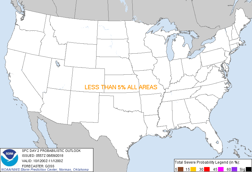
...MAXIMUM RISK BY HAZARD...
Tornado: <2% - None
Wind: <5% - None
Hail: <5% - None
..Goss.. 08/09/2018
CLICK TO GET WUUS02 PTSDY2 PRODUCT
NOTE: THE NEXT DAY 2 OUTLOOK IS SCHEDULED BY 1730Z
|