SPC AC 061644
Day 2 Convective Outlook
NWS Storm Prediction Center Norman OK
1144 AM CDT Thu Sep 06 2018
Valid 071200Z - 081200Z
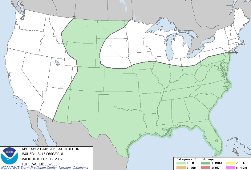
...NO SEVERE THUNDERSTORM AREAS FORECAST...
...SUMMARY...
Only general thunderstorms are expected across the country on
Friday.
...Synopsis...
An upper ridge will slowly move east into central Canada and the
central Plains, flanked by large-scale upper troughs across the
Pacific Northwest and the Northeast. The southern half of the CONUS
will generally continue a weak flow regime with relatively high
heights, but pockets of cool air aloft will exist periodically in
association with areas of convection. At the surface, high pressure
will be centered over Ontario, with the cool/dry air expanding south
with a front situated from KS to NJ by Saturday morning. South of
this boundary, a vast moist air mass will stretch from the southern
Plains to the Mid Atlantic, with scattered rain and storms scattered
about.
One potential area of storm development during the day will be over
the Appalachians from WV into VA, and spreading into central VA by
evening. Heating of a moist air mass will lead to moderate
instability, although winds aloft will be weak. Still, a few
clusters of storms may pose a small hail and/or gusty wind threat.
Another potential area of storm organization will be with the
remnants of Gordon which will move from AR into MO. This
concentrated area of low-level convergence will lead to heavy rain
and storms, but low level shear is unlikely to be strong enough for
any severe threat.
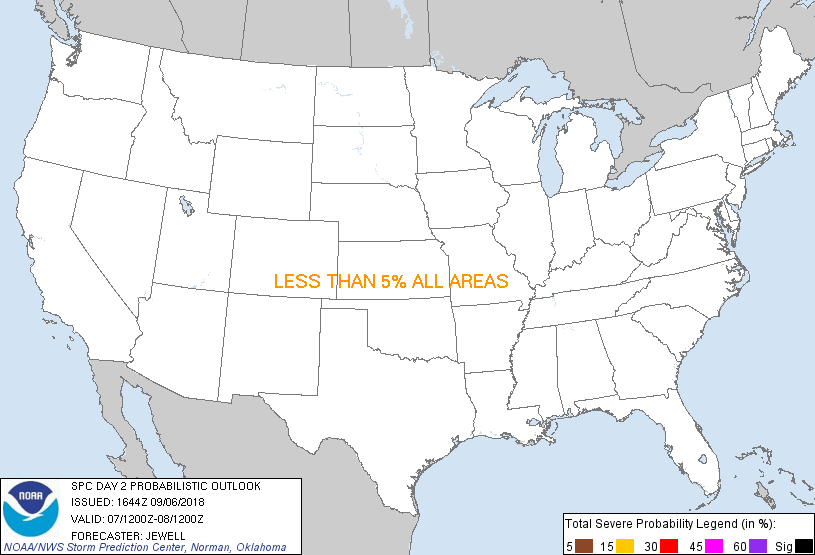
...MAXIMUM RISK BY HAZARD...
Tornado: <2% - None
Wind: <5% - None
Hail: <5% - None
..Jewell.. 09/06/2018
CLICK TO GET WUUS02 PTSDY2 PRODUCT
NOTE: THE NEXT DAY 2 OUTLOOK IS SCHEDULED BY 0600Z
|