SPC AC 291728
Day 2 Convective Outlook
NWS Storm Prediction Center Norman OK
1228 PM CDT Sat Sep 29 2018
Valid 301200Z - 011200Z
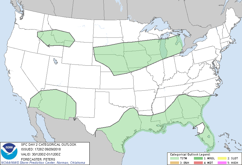
...NO SEVERE THUNDERSTORM AREAS FORECAST...
...SUMMARY...
Severe storms are not expected across the U.S. Sunday through Sunday
night.
DISCUSSION:
A few changes have been made in the general thunderstorm forecast
areas across the central U.S. and the Gulf Coast States based on
latest trends in forecast guidance.
...Southwest states...
A midlevel perturbation moving into AZ Sunday afternoon/evening and
a substantial poleward increase in precipitable water as Hurricane
Rosa approaches northern Baja per latest NHC guidance suggest
convective development remains likely from south to north in AZ, and
perhaps into southeast CA and parts of western NM. Effective bulk
shear, midlevel lapse rates and buoyancy will be weak, though steep
low-level lapse rates could result in locally strong wind gusts.
However, lack of an organized storm potential precludes the
introduction of severe probabilities.
...Elsewhere...
The lack of sufficient CAPE/shear parameter space precludes the
likelihood for organized severe storms across the Gulf Coast states,
northern Rockies, and the central Plains into the Great Lakes.
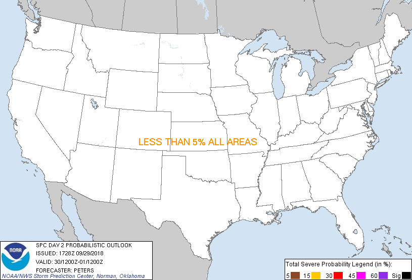
...MAXIMUM RISK BY HAZARD...
Tornado: <2% - None
Wind: <5% - None
Hail: <5% - None
..Peters.. 09/29/2018
CLICK TO GET WUUS02 PTSDY2 PRODUCT
NOTE: THE NEXT DAY 2 OUTLOOK IS SCHEDULED BY 0600Z
|