SPC AC 140419
Day 2 Convective Outlook
NWS Storm Prediction Center Norman OK
1119 PM CDT Sat Oct 13 2018
Valid 151200Z - 161200Z
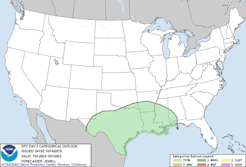
...NO SEVERE THUNDERSTORM AREAS FORECAST...
...SUMMARY...
A few strong storms are possible across far southern Texas on
Monday, but severe weather is not expected.
...Synopsis and Discussion...
A confluent flow regime will exist over the central U.S. on Monday
with strong northwest flow aloft extending from central Canada to
the northern Plains, and southwesterly flow from northern Mexico
into the southern Plains. At the surface, a large area of high
pressure will extend from the Rockies across the Plains and into the
MS and OH Valleys, with a cold front situated from the TX coast to
the OH and TN Valleys by afternoon.
Ahead of the front, substantial low-level moisture will exist with
70s F dewpoints from southern TX eastward along the Gulf Coast. The
undercutting of this moist, unstable air mass will lead to
thunderstorms across much of TX, with large-scale lift well north of
the front in the form of warm advection. Prior to frontal passage, a
few strong storms are possible over Deep South TX and the middle TX
coast, with a few strong wind gusts possible. Otherwise, forecast
soundings north of the front do not appear to favor any form of
severe thunderstorms.
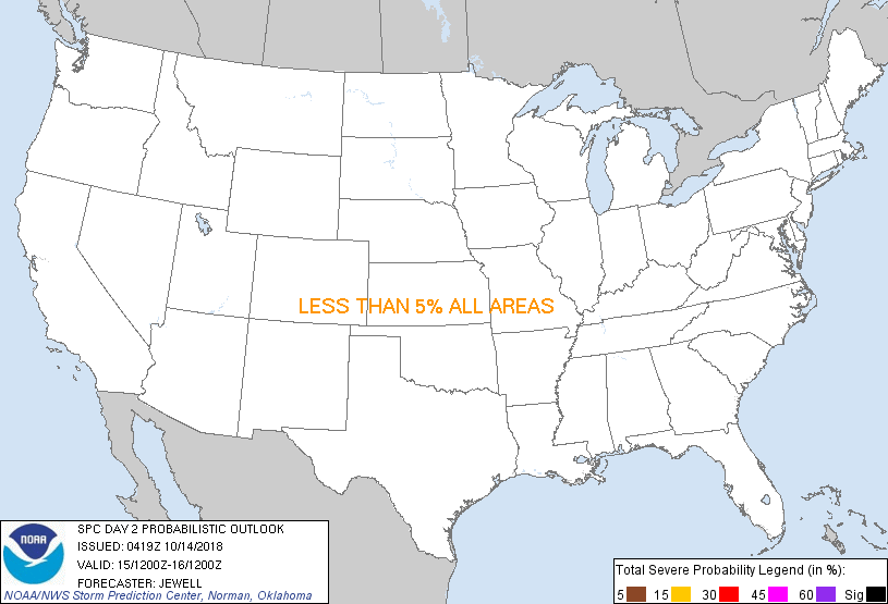
...MAXIMUM RISK BY HAZARD...
Tornado: <2% - None
Wind: <5% - None
Hail: <5% - None
..Jewell.. 10/14/2018
CLICK TO GET WUUS02 PTSDY2 PRODUCT
NOTE: THE NEXT DAY 2 OUTLOOK IS SCHEDULED BY 1730Z
|