SPC AC 181720
Day 2 Convective Outlook
NWS Storm Prediction Center Norman OK
1120 AM CST Sun Nov 18 2018
Valid 191200Z - 201200Z
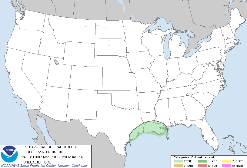
...NO SEVERE THUNDERSTORM AREAS FORECAST...
...SUMMARY...
Severe thunderstorms are not expected on Monday.
...Southeast Texas through Louisiana...
A shortwave trough embedded within a broad upper trough will advance
east southeast through TX into the lower MS Valley region. Cold
front should extend from the OH Valley through western TN to along
the TX coast by 12Z Monday, and will advance southeast during the
day. South-southwest winds in the 900-850 mb layer will persist
during the day ahead of the positive-tilt shortwave trough, and this
will maintain modest isentropic ascent and influx of higher theta-e
air, contributing to weak instability above the frontal inversion.
These processes will support a few showers and thunderstorms within
the post frontal zone over southeast TX during the day and
eventually into portions of the lower MS Valley during the afternoon
and evening.
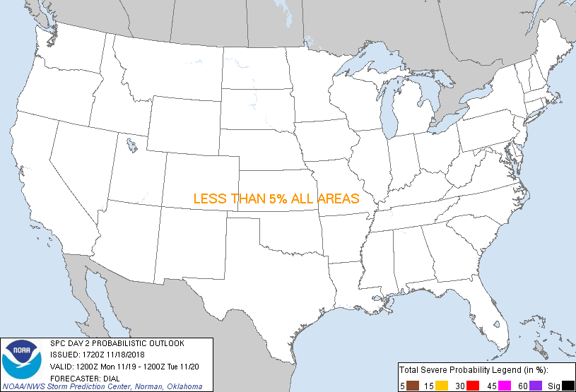
...MAXIMUM RISK BY HAZARD...
Tornado: <2% - None
Wind: <5% - None
Hail: <5% - None
..Dial.. 11/18/2018
CLICK TO GET WUUS02 PTSDY2 PRODUCT
NOTE: THE NEXT DAY 2 OUTLOOK IS SCHEDULED BY 0700Z
|