   SPC AC 190614

   Day 2 Convective Outlook
   NWS Storm Prediction Center Norman OK
   1214 AM CST Mon Nov 19 2018

   Valid 201200Z - 211200Z

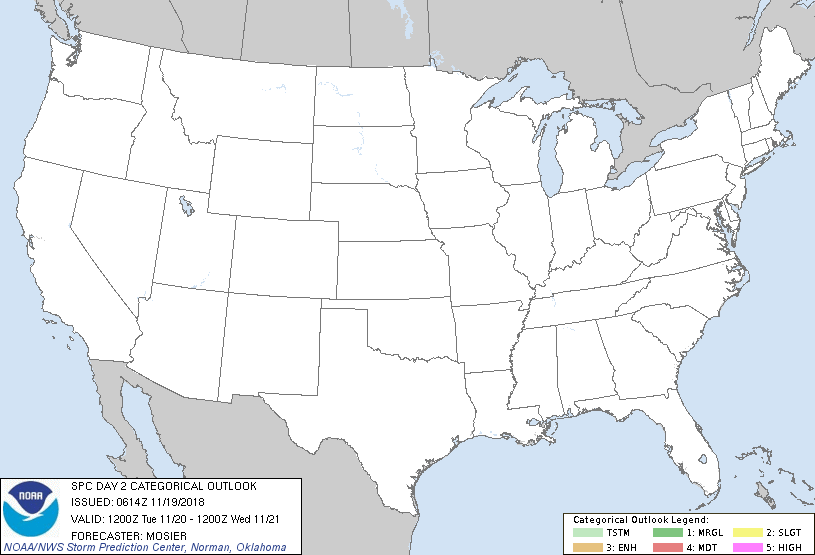
   ...NO THUNDERSTORM AREAS FORECAST...

   ...SUMMARY...
   No thunderstorms are expected over the Lower 48 States on Tuesday.

   ...Synopsis and Discussion...
   Western CONUS ridging is expected to gradually shift eastward while
   losing amplitude. A similar loss of amplitude is anticipated within
   the upper troughing across the eastern CONUS as an embedded
   shortwave trough moves from the OH Valley of the New England coast.
   A low-amplitude southern-stream shortwave trough is expected to move
   across the Southwest States, reaching the southern High Plains by
   12Z Wednesday.

   At the surface, a large area of high pressure, initially centered
   over the Ozark Plateau, is expected to shift southeastward into the
   Mid-South. Offshore flow associated with this high will prevent the
   advection of low-level moisture (and its associated instability)
   into the Southeast, precluding the necessary ingredients for
   thunderstorms. Stable conditions are anticipated elsewhere across
   the CONUS.

   ...MAXIMUM RISK BY HAZARD...
   Tornado:  <2%     - None
   Wind:     <5%     - None
   Hail:     <5%     - None

   ..Mosier.. 11/19/2018

   CLICK TO GET WUUS02 PTSDY2 PRODUCT

   NOTE: THE NEXT DAY 2 OUTLOOK IS SCHEDULED BY 1730Z
|

