SPC AC 191613
Day 2 Convective Outlook
NWS Storm Prediction Center Norman OK
1013 AM CST Mon Nov 19 2018
Valid 201200Z - 211200Z
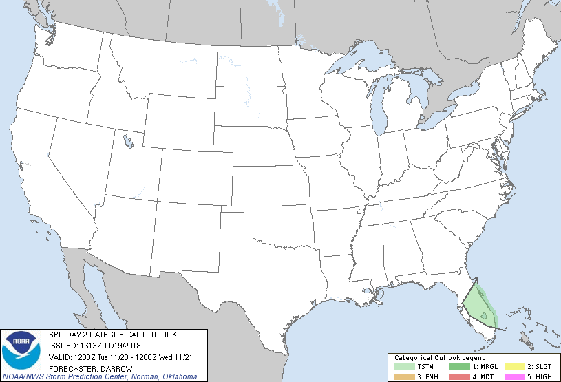
...NO SEVERE THUNDERSTORM AREAS FORECAST...
...SUMMARY...
A few thunderstorms are possible across portions of the Florida
Peninsula.
...FL Peninsula...
Weak mid-level height falls will glance northern FL during the first
half of the period ahead of a weak short-wave trough that will
deamplify as it ejects into the base of broader eastern US trough.
Weak buoyancy will exist across the FL warm sector but forecast
lapse rates are seasonally weak but adequately moist for
near-surface based instability. Some diabatic heating is also
expected to contribute to buoyancy. As a result, a few thunderstorms
could evolve along a cold front as it sags south across the
Peninsula.
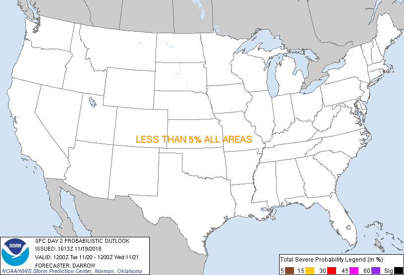
...MAXIMUM RISK BY HAZARD...
Tornado: <2% - None
Wind: <5% - None
Hail: <5% - None
..Darrow.. 11/19/2018
CLICK TO GET WUUS02 PTSDY2 PRODUCT
NOTE: THE NEXT DAY 2 OUTLOOK IS SCHEDULED BY 0700Z
|