SPC AC 230621
Day 2 Convective Outlook
NWS Storm Prediction Center Norman OK
1221 AM CST Fri Nov 23 2018
Valid 241200Z - 251200Z
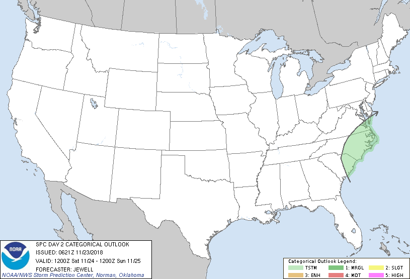
...NO SEVERE THUNDERSTORM AREAS FORECAST...
...SUMMARY...
Isolated thunderstorms are possible across the Mid-Atlantic states
on Saturday. Severe weather is unlikely.
...Synopsis and Discussion...
A progressive pattern will exist on Saturday with multiple embedded
waves within a broader area of cyclonic flow aloft stretching from
the Plains to the East Coast. The strongest of these waves will dive
southeast across the central Rockies and into the central Plains,
causing low pressure to deepen over KS and OK during the evening and
overnight. However, any instability will be too minor to support any
thunderstorm threat.
The greatest threat of a few thunderstorms will be across the
eastern Carolinas in association with a fast moving, negatively
tilted shortwave trough. Here, strong warm advection in the
low-levels with a 50+ kt low-level jet as well as cooling aloft will
support strong lift, with minimal elevated instability resulting in
a few thunderstorms during the day. Forecast soundings depict rather
stable low-levels, and while better instability may approach the
outer banks, severe weather is unlikely.
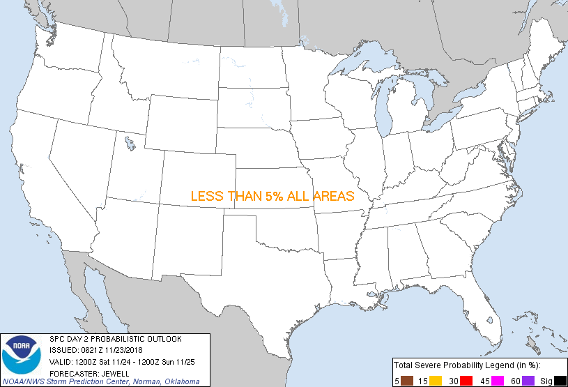
...MAXIMUM RISK BY HAZARD...
Tornado: <2% - None
Wind: <5% - None
Hail: <5% - None
..Jewell.. 11/23/2018
CLICK TO GET WUUS02 PTSDY2 PRODUCT
NOTE: THE NEXT DAY 2 OUTLOOK IS SCHEDULED BY 1730Z
|