SPC AC 171714
Day 2 Convective Outlook
NWS Storm Prediction Center Norman OK
1114 AM CST Mon Dec 17 2018
Valid 181200Z - 191200Z
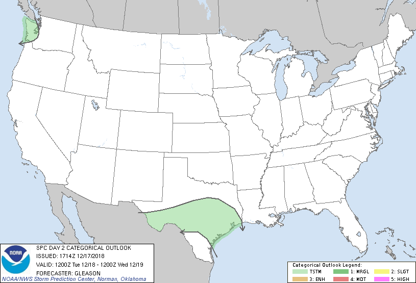
...NO SEVERE THUNDERSTORM AREAS FORECAST...
...SUMMARY...
Low thunderstorm probabilities are expected across parts of the
Pacific Northwest and Texas on Tuesday.
...Pacific Northwest...
Strong forcing for ascent associated with a mid-level shortwave
trough and left exit region of an upper jet will overspread parts of
the Pacific Northwest through Tuesday evening. Related steepening of
mid-level lapse rates behind a surface cold front should support
weak instability for mainly portions of western WA by Tuesday
afternoon. Isolated lightning strikes could occur with any of the
deeper convective showers that can reach sufficient height to induce
charge separation.
...TX...
A shortwave trough initially over the Southwest and northern Mexico
should amplify as it moves eastward across the southern Plains
through the period. Attendant mid-level jet will likewise translate
from the Big Bend region of TX to the coastal plain by Tuesday
night. Even through low-level moisture will remain meager ahead of
this feature, there may be sufficient elevated instability to
support isolated thunderstorms. Relatively greater convective
potential may be realized late Tuesday night near the middle/upper
TX Coast and into parts of east TX as a weak surface low forms along
the coast and low-level warm air advection modestly strengthens.
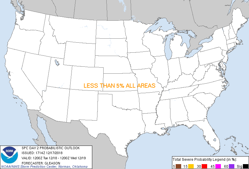
...MAXIMUM RISK BY HAZARD...
Tornado: <2% - None
Wind: <5% - None
Hail: <5% - None
..Gleason.. 12/17/2018
CLICK TO GET WUUS02 PTSDY2 PRODUCT
NOTE: THE NEXT DAY 2 OUTLOOK IS SCHEDULED BY 0700Z
|