SPC AC 080818
Day 3 Convective Outlook
NWS Storm Prediction Center Norman OK
0218 AM CST Mon Jan 08 2018
Valid 101200Z - 111200Z
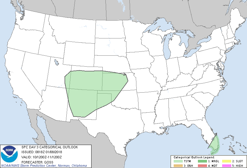
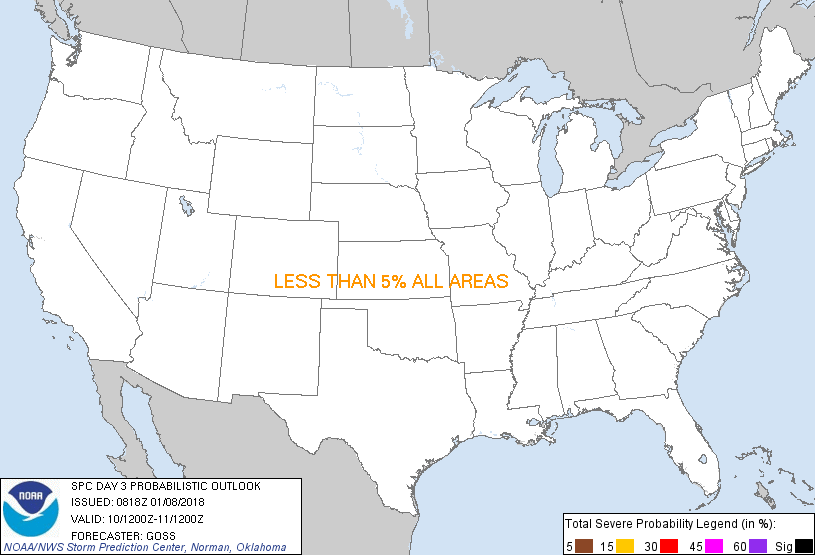
...NO SEVERE THUNDERSTORM AREAS FORECAST...
...SUMMARY...
Showers and a few/embedded thunderstorms will be possible across
portions of the Four Corners states and eastward into the central
Plains Wednesday. Showers and a storm or two may also occur over
south Florida.
...Synopsis...
While a weak upper disturbance will continue moving across the
Cuba/the Caribbean vicinity, ridging is forecast to otherwise
prevail over the eastern states. Farther west, a much larger trough
is forecast to evolve/expand, as northern- and southern-stream
systems phase with time. This expanding trough is forecast to shift
across the Rockies and into the Plains, and should reside over the
central third of the country by Thursday morning.
At the surface, an expansive frontal system will shift across the
Plains, as the aforementioned upper trough advances. By the end of
the period, the front should extend from the Upper Great Lakes
south-southwest to Texas by the end of the period.
...Southern Rockies and into the Plains...
Showers and occasional/embedded thunderstorms will spread across the
southern Rockies and into the central/southern high Plains region,
ahead of an ejecting southern-stream system. Weak instability
should generally limit thunderstorm activity.
...South Florida...
Showers -- and possibly a thunderstorm or two -- will be possible
over parts of south Florida and the Keys, as an upper low just south
of the area advances east.
..Goss.. 01/08/2018
CLICK TO GET WUUS03 PTSDY3 PRODUCT
NOTE: THE NEXT DAY 3 OUTLOOK IS SCHEDULED BY 0830Z
|