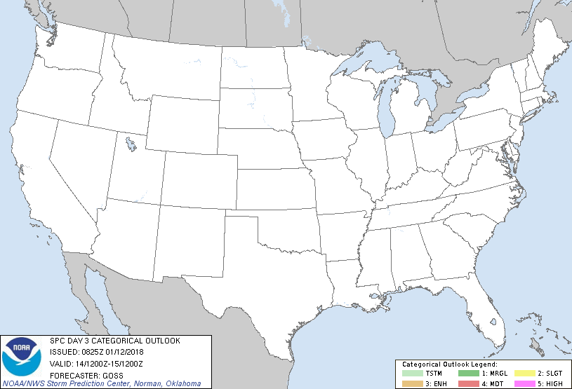
   SPC AC 120825

   Day 3 Convective Outlook
   NWS Storm Prediction Center Norman OK
   0225 AM CST Fri Jan 12 2018

   Valid 141200Z - 151200Z

   ...NO THUNDERSTORM AREAS FORECAST...

   ...SUMMARY...
   No thunderstorms are expected over the U.S. Sunday.

   ...Synopsis...
   Large/broad long-wave troughing will remain over the central and
   eastern U.S. Sunday, while the continued approach of an eastern
   Pacific trough helps to maintain a highly amplified ridge over
   western North America.  At the surface, while a weak clipper-type
   system is forecast to cross the northern Plains and upper Midwest,
   high pressure -- and a continental polar airmass -- will prevail
   across the country.

   Given the cold/stable airmass prevailing, and the eastern Pacific
   system remaining offshore, thunderstorms are not expected through
   the period.

   ..Goss.. 01/12/2018

   CLICK TO GET WUUS03 PTSDY3 PRODUCT

   NOTE: THE NEXT DAY 3 OUTLOOK IS SCHEDULED BY 0830Z
|

