SPC AC 050538
Day 3 Convective Outlook
NWS Storm Prediction Center Norman OK
1138 PM CST Sun Feb 04 2018
Valid 071200Z - 081200Z
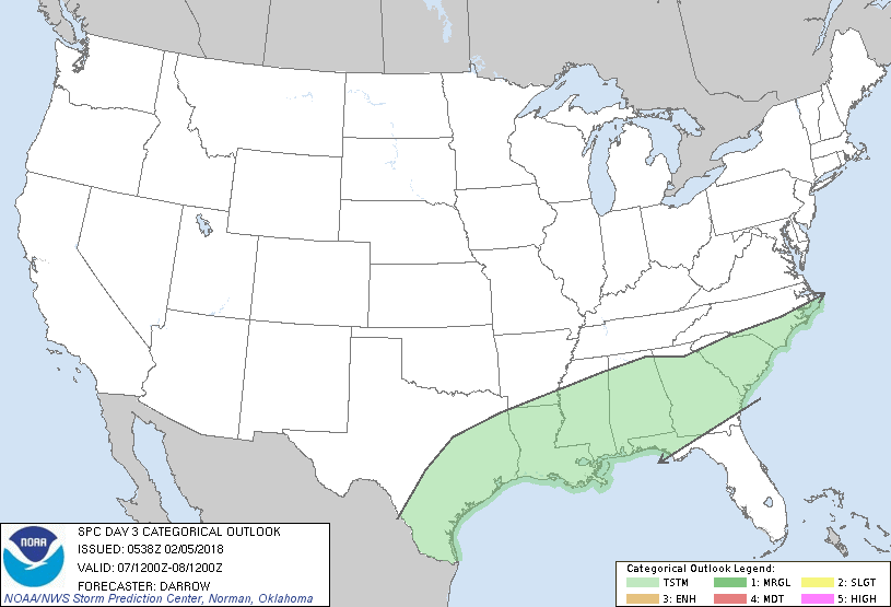
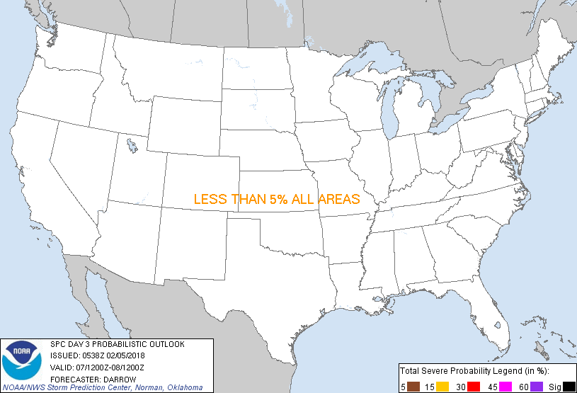
...NO SEVERE THUNDERSTORM AREAS FORECAST...
...SUMMARY...
Thunderstorm potential will exist from the coastal plain of Texas to
the Carolina coast Wednesday.
...Discussion...
Weak short-wave trough, within the base of larger eastern US trough,
is expected to eject east across the Gulf States and deamplify
during the day3 period. Although large-scale height falls will be
negligible across this region, substantial moisture return ahead of
this feature should aid buoyancy for potential convective
development, especially within a post-frontal environment where
ascent should be maximized. Convection should be ongoing at the
beginning of the period from portions of central TX into the TN
Valley. The greatest risk for robust updrafts, capable of generating
hail, should be early in the period from TX into LA where mid-level
lapse rates will be steepest. Even so, forecast soundings suggest
hail sizes should mostly remain below severe levels where MUCAPE
could approach 800-900 J/kg if lifting parcels near 900-850mb. Lack
of meaningful low-level convergence along the front suggests the
primary risk for convection will be immediately behind the front,
although weak pre-frontal convection can not be ruled out. The
probability for gusty winds with near-surfaced based, warm sector
convection should remain too low for severe wind delineation this
period.
..Darrow.. 02/05/2018
CLICK TO GET WUUS03 PTSDY3 PRODUCT
NOTE: THE NEXT DAY 3 OUTLOOK IS SCHEDULED BY 0830Z
|