SPC AC 280826
Day 3 Convective Outlook
NWS Storm Prediction Center Norman OK
0226 AM CST Wed Feb 28 2018
Valid 021200Z - 031200Z
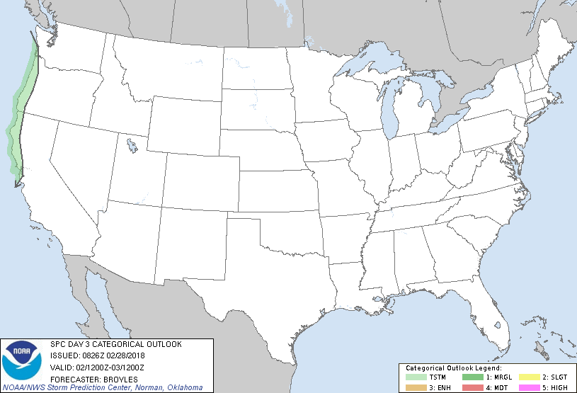
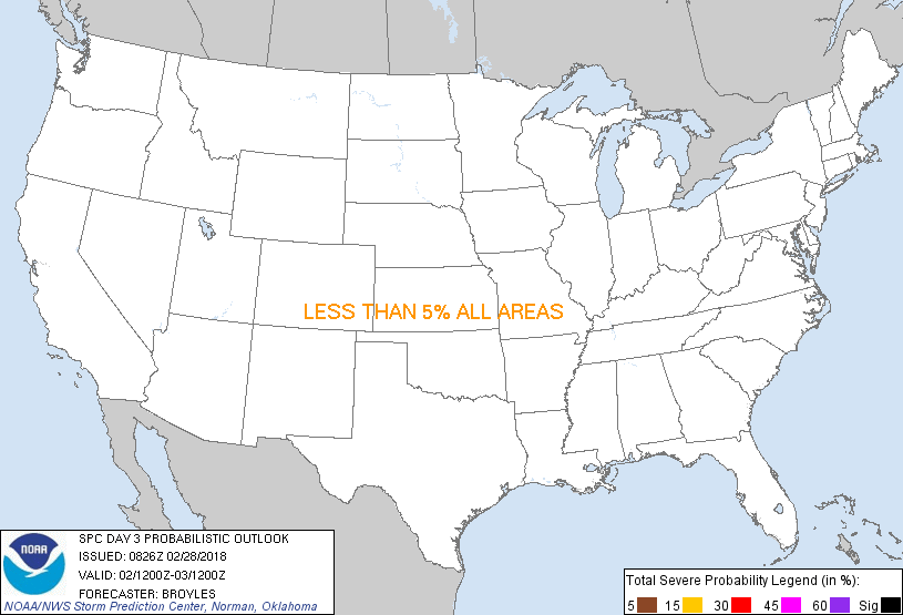
...NO SEVERE THUNDERSTORM AREAS FORECAST...
...SUMMARY...
Thunderstorms will be possible along the West Coast on Friday.
...DISCUSSION...
An upper-level ridge is forecast to move across the central U.S. on
Friday as a cold front moves southward into the Gulf of Mexico and
across the Florida Peninsula. Surface high pressure will be dominant
over the eastern half of the nation. Along the West Coast, an
upper-level trough will approach western California on Friday.
Strong large-scale ascent and steep mid-level lapse rates associated
with the upper-level trough should be enough for some lightning
strikes in western Oregon and along the California coast from San
Francisco northward.
..Broyles.. 02/28/2018
CLICK TO GET WUUS03 PTSDY3 PRODUCT
NOTE: THE NEXT DAY 3 OUTLOOK IS SCHEDULED BY 0830Z
|