SPC AC 130544
Day 3 Convective Outlook
NWS Storm Prediction Center Norman OK
1244 AM CDT Tue Mar 13 2018
Valid 151200Z - 161200Z
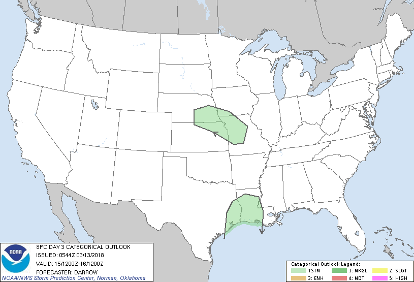
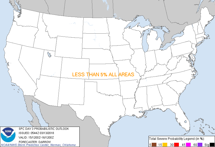
...NO SEVERE THUNDERSTORM AREAS FORECAST...
...SUMMARY...
Thunderstorm potential will develop late across the lower Missouri
Valley and across parts of the lower Sabine River Valley.
...Lower MO Valley...
Strong short-wave trough will translate across the Four Corners
region early in the day3 period before ejecting into KS by 16/06.
Exit region of an 80kt 500mb speed max should encourage ascent along
a warm advection corridor from southeast NE into northern MO
immediately ahead of a surface low. While low-level moisture will
not be particularly high north of I-70, forecast PW values approach
1" across the southeastern half of the delineated thunder area.
Models suggest sufficient moistening will occur after midnight such
that parcels lifted between 750-800mb should yield adequate buoyancy
for potential thunderstorm development. Low-level warm advection
will focus the greatest risk along a corridor from southeast NE into
northern MO.
...Lower Sabine River Valley...
Low-level trajectories will respond to height falls over the High
Plains and allow modified Gulf air mass to advance inland across
coastal portions of TX/LA. This surge northward will be aided by
increasing LLJ that should focus along the Sabine River Valley late
in the period. Latest thinking is warm/moist advection should
encourage convection along the leading edge of the more significant
surge late in the period despite marginal lapse rates. Veering
profiles with height suggest there will be a tendency for the more
robust updrafts to exhibit rotation; however, forecast buoyancy
appears inadequate for appreciable severe threat, especially given
the somewhat marginal large-scale forcing. Will not introduce severe
probs for this scenario given the weak forcing.
..Darrow.. 03/13/2018
CLICK TO GET WUUS03 PTSDY3 PRODUCT
NOTE: THE NEXT DAY 3 OUTLOOK IS SCHEDULED BY 0730Z
|