SPC AC 040727
Day 3 Convective Outlook
NWS Storm Prediction Center Norman OK
0227 AM CDT Wed Jul 04 2018
Valid 061200Z - 071200Z
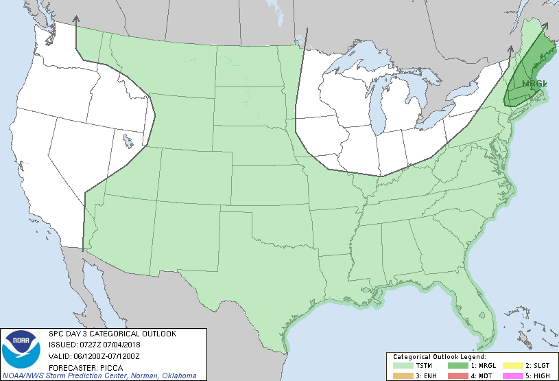
...THERE IS A MARGINAL RISK OF SEVERE THUNDERSTORMS ACROSS PARTS OF
NEW ENGLAND...
...SUMMARY...
A few strong to briefly severe storms will be possible across New
England on Friday, most likely during the morning hours.
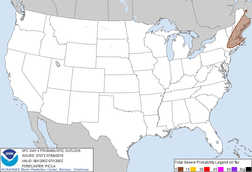
...New England...
Underneath an amplifying cyclonic-flow regime, a cold front will
cross New England through the early afternoon. Showers and
thunderstorms will likely be ongoing at the beginning of the period,
such that the potential for robust heating/destabilization appears
limited. Mid-level lapse rates will be unimpressive as well. Still,
surface dew points in the 60s to lower 70s will support weak/modest
mixed-layer CAPE from the northern Mid-Atlantic into New England
ahead of the front. Across much of New England, westerly 925-850mb
flow around 25-30 kt may enhance low-level shear sufficiently for
weak updraft rotation. A considerable component of these shear
vectors will likely be oriented parallel to convective bands, which
will dampen the severe potential. However, a few line-embedded
elements may produce locally damaging winds or perhaps a brief
tornado during the first half of Friday.
With southwestward extent (towards the Mid Atlantic), weakening flow
and poor mid-level lapse rates will further reduce the severe
threat. Therefore, despite considerable convective coverage, storm
organization will likely be too low for severe probabilities at this
time.
..Picca.. 07/04/2018
CLICK TO GET WUUS03 PTSDY3 PRODUCT
NOTE: THE NEXT DAY 3 OUTLOOK IS SCHEDULED BY 0730Z