SPC AC 210730
Day 3 Convective Outlook
NWS Storm Prediction Center Norman OK
0230 AM CDT Fri Sep 21 2018
Valid 231200Z - 241200Z
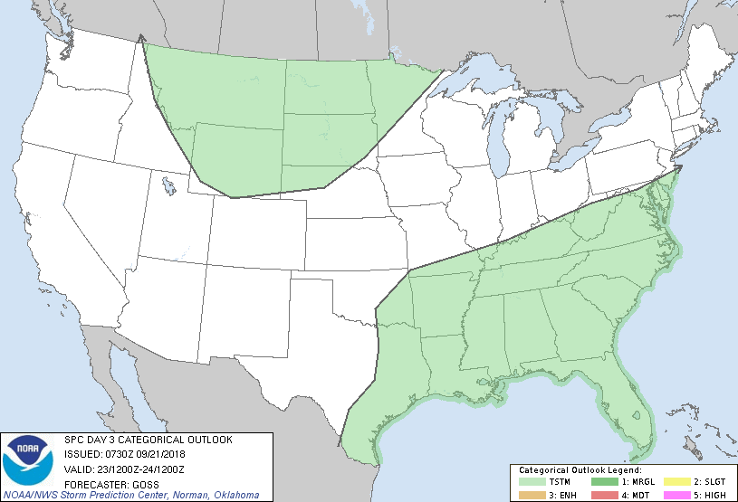
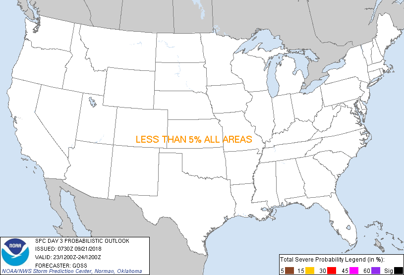
...NO SEVERE THUNDERSTORM AREAS FORECAST...
...SUMMARY...
Severe storms are not anticipated across the U.S. on Sunday.
...Synopsis...
Persistent ridging aloft is forecast across the southeastern U.S. on
Sunday, while several weak disturbances south of the main belt of
westerlies continue to cross the south-central and
mid-south/southeastern portions of the country. Meanwhile, within
the belt of stronger westerlies farther north, northwestern U.S.
troughing is forecast to move steadily eastward across the
Intermountain West, gradually emerging into the northern Plains
during the second half of the period.
As this trough nears the Plains, High Plains lee troughing is
forecast to shift eastward, with a weak low/cold front gradually
evolving. By early Monday morning, a weak low is progged to lie
over the northern Minnesota vicinity, with a trailing cold front
extending south-southwestward to the central High Plains.
Elsewhere, a lingering west-to-east surface front over the
south-central and southeastern U.S. is forecast to weaken/dissipate
with time, as high pressure builds southward out of Canada --
primarily east of the Appalachians. By the end of the period, a
weak/remnant low lingering over eastern portions of Texas may be all
that remains discernible.
Showers and thunderstorms are expected across parts of the
south-central and southeastern states and into the mid-Atlantic
region, where a relatively moist airmass may linger near and south
of the dissipating front. Farther west, isolated showers and storms
are expected over parts of the northern Intermountain Region. At
this time, it appears that any convection farther east into the
Plains will be confined to the cool side of the front -- and as
such, severe-weather risk appears minimal at this time.
..Goss.. 09/21/2018
CLICK TO GET WUUS03 PTSDY3 PRODUCT
NOTE: THE NEXT DAY 3 OUTLOOK IS SCHEDULED BY 0730Z
|