SPC AC 070825
Day 3 Convective Outlook
NWS Storm Prediction Center Norman OK
0225 AM CST Wed Nov 07 2018
Valid 091200Z - 101200Z
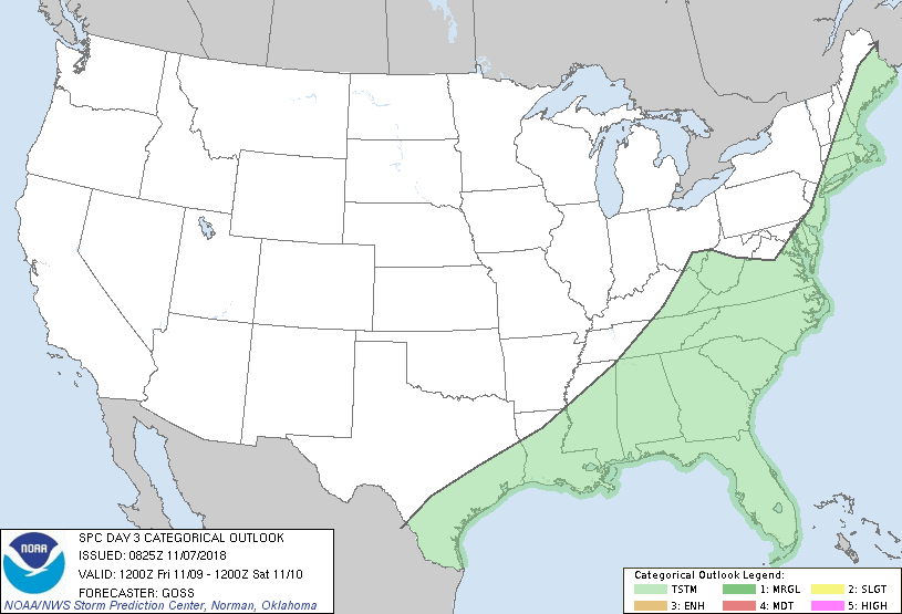
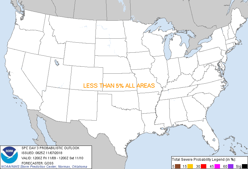
...NO SEVERE THUNDERSTORM AREAS FORECAST...
...SUMMARY...
Showers and thunderstorms are expected across portions of the
southern and eastern U.S. Friday. Severe weather is not expected.
...Discussion...
Surface cyclogenesis is expected to occur over parts of the
northeastern quadrant of the U.S. on Friday, as a large upper trough
shifts out of the central U.S. and across the Midwest/Great
Lakes/Mid-South region. The low -- initially progged to lie over
the Ohio vicinity, is expected to shift gradually north-northeast
into/across southern Ontario, crossing the Ottawa River into
southern Quebec late. Meanwhile, a secondary, triple-point low is
forecast to develop near the Mid-Atlantic Coast during the
afternoon.
As the low develops, a cold front will evolve, sweeping east across
the eastern U.S. and south into the Gulf of Mexico. By the end of
the period, the front will likely have shifted off the Atlantic
Coast and well south into the Gulf, lingering only across the
Florida peninsula.
Ahead of the front, a significant lack of instability is expected.
Just prior to frontal passage, a remnants of a cold-air dam east of
the Appalachians should hinder surface-based storm potential across
the East Coast states -- suggestive of weak/disorganized storms. As
such, severe weather is not expected with this system.
..Goss.. 11/07/2018
CLICK TO GET WUUS03 PTSDY3 PRODUCT
NOTE: THE NEXT DAY 3 OUTLOOK IS SCHEDULED BY 0830Z
|