SPC AC 260524
Day 3 Convective Outlook
NWS Storm Prediction Center Norman OK
1124 PM CST Sun Nov 25 2018
Valid 281200Z - 291200Z
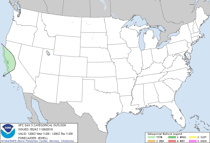
...NO SEVERE THUNDERSTORM AREAS FORECAST...
...SUMMARY...
Isolated thunderstorms are possible across parts of central
California Wednesday night into Thursday morning.
...Synopsis and Discussion...
As an upper low will exit the Northeast, high pressure will remain
over the Southeast, providing dry conditions. Meanwhile, the flow
regime aloft will become zonal from the Mid Atlantic westward across
the Central Plains, with a low-amplitude shortwave trough nosing
into CA Wednesday night. Here, cooling aloft will lead to weak
instability. Widespread precipitation will occur, and a few of the
heavier convective elements may contain lightning, from the Bay area
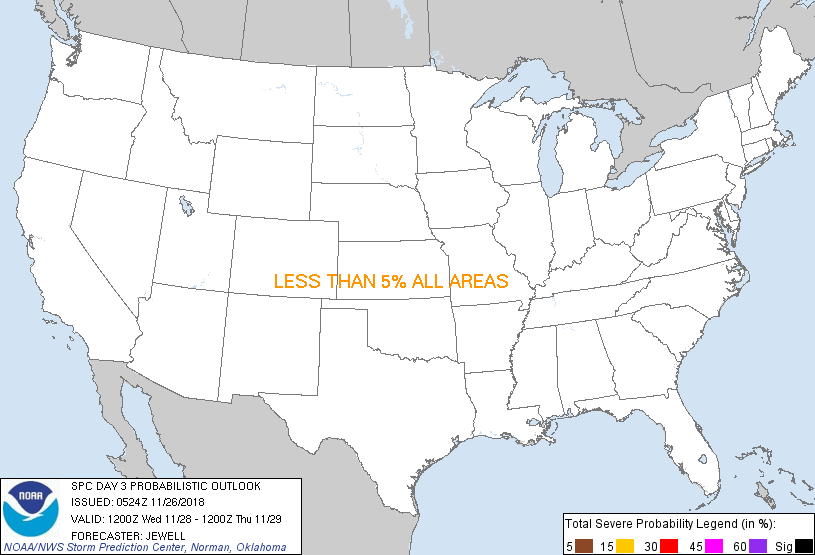
eastward toward the Sierra. Instability will be quite weak, thus no
severe thunderstorms are expected.
..Jewell.. 11/26/2018
CLICK TO GET WUUS03 PTSDY3 PRODUCT
NOTE: THE NEXT DAY 3 OUTLOOK IS SCHEDULED BY 0830Z
|